What is recorded here
On a slight rise in grassland. This rectilinear graveyard (c. 55m NNE-SSW; c. 53m E-W) is defined by a stone wall. Access is via a gateway at SW. The ruins of a church (GA106-103001-) occupy its NE sector and the remains of a round tower (GA106-103005) stand in its NW sector. The headstones date from the 18th century. Numerous architectural fragments from the church, many bearing Romanesque decoration, are scattered around the graveyard. According to local information, there is a children's burial ground (GA106-103004-) immediately to the N of the E end of the church.
Compiled by: Olive Alcock
Date of upload: 10 March 2020
The monument record does not grant public access. Check the route and ask the landowner before entering private land.
- What survives
- Recorded monument
Places near here
 Church (in ruins)Church · 5 yd
 Leaght LiocanLeacht · 360 yd
 Enclosure in KilmeenEnclosure · 1010 yd
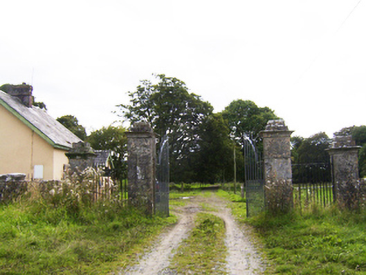 Ballydoogan Housegates/railings/walls · 1181 yd
 Drought Castle (in Ruins)Castle, tower house · 1.4 mi
 Dartfield Horse MuseumHeritage attraction · 1.5 mi
 Kilcooly Castle (in ruins)Castle, tower house · 1.6 mi
 Long PointHeadland · 3.1 mi
 Stone Islands SouthIslet · 3.1 mi
 Bush IslandIslet · 3.1 mi
 Turoe StoneHeritage attraction · 4.2 mi
 Quarryhill WoodWood · 7.1 mi