
What is recorded here
In pastureland. This roughly subcircular enclosure (c. 30m NE-SW; c. 28m NW-SE) is visible on satellite imagery (© Apple Maps). It was identified and reported to the Survey by Jean-Charles Caillère. A field boundary, running roughly E-W, extends off the enclosing element at ESE and WSW.
The following image has been uploaded:
GA106-181----_01.jpg Apple Maps
Compiled by: Olive Alcock
Date of upload: 24 September 2020
The monument record does not grant public access. Check the route and ask the landowner before entering private land.
- What survives
- Recorded monument
Places near here
 Church (in ruins)Church · 1011 yd
 Leaght LiocanLeacht · 1224 yd
 Ladys WellHoly well · 1233 yd
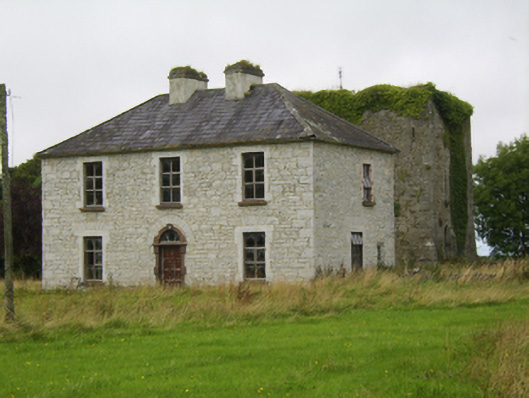 Ballybroder Househouse · 1393 yd
 Drought Castle (in Ruins)Castle, tower house · 1.5 mi
 Dartfield Horse MuseumHeritage attraction · 1.7 mi
 Kilcooly Castle (in ruins)Castle, tower house · 2.1 mi
 Bush IslandIslet · 2.6 mi
 Middle IslandIslet · 2.7 mi
 Long PointHeadland · 2.7 mi
 Turoe StoneHeritage attraction · 3.7 mi
 Quarryhill WoodWood · 7.6 mi
Other information
Photo: Credit not shown in the picture search · Rights wording not checked; contact us if this picture should be removed