What is recorded here
Situated on a slight rise in gently undulatingpasture land that falls towards a small stream to the SW. This rectangular graveyard (c. 48m NE-SW; c. 30m NW-SE) contains the ruins of a church (GA104-148004-). A 17th-century graveslab (GA104-148008-) lies within the church and a sculpted stone head (GA104-148009-) is set in the ground c. 7.5m to the SW of its W gable. Numerous cut-stone fragments from the church have been used as grave-markers. A survey of the gravestone inscriptions was undertaken between 1995 and 1997 (Chapple 1997; 2005, 181).
Compiled by: Paul Walsh
Date of upload: 10 January 2014
The monument record does not grant public access. Check the route and ask the landowner before entering private land.
- What survives
- Recorded monument
Places near here
 Killogilleen Church (in ruins)Church · 10 yd
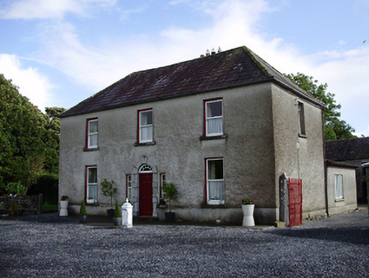 Carheen Househouse · 265 yd
 Field system in CarheenField system · 360 yd
 Cregg Castle (in ruins)Castle, tower house · 722 yd
 Structure in BallynascraghStructure · 852 yd
 CarnanthomasCastle, unclassified · 1.2 mi
 Blake's IslandIslet · 4.8 mi
 Moyard WoodWood · 4.9 mi
 Ash IslandIslet · 5.0 mi
 Scalpeen RockNamed rock · 5.8 mi
 Kilcornan ForestWood · 7.0 mi
 Drumacoo Monastic SiteHeritage attraction · 8.3 mi