What is recorded here
On a S-facing gentle slope, with River Suir c. 200m to S, in undulating pasture. The church (TS083-012----) is on the S side of a square-shaped graveyard (dims. 65m N-S; 78m E-W) which is enclosed by a stone wall. A graveslab SW of the medieval church dates to 1727 and one to the W dates to 1786. There are 18th and 19th-century gravestones in the interior, the earliest dating to 1753 or 1755. Collapsed stone and concrete edging immediately E of E gable probably indicates a 19th-century burial plot. Both rubble/collapsed masonry and burial plot are heavily overgrown with vegetation.
Compiled by: Jean Farrelly
Date of upload: 26 August 2011
The monument record does not grant public access. Check the route and ask the landowner before entering private land.
- What survives
- Recorded monument
Places near here
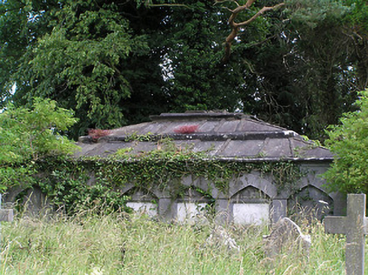 Killaloan Churchmausoleum · 31 yd
 Enclosure in Killaloan LowerEnclosure · 326 yd
 Black PoplarBlack Poplar · 541 yd
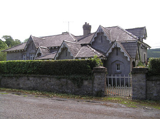 Newtownanner National Schoolschool · 557 yd
 Derrinlaur Castle (in ruins)Castle, tower house · 752 yd
 Bourke's GroveForest · 846 yd
 Enclosure in Tikincor LowerEnclosure · 974 yd
 Gurteen CastleCastle · 1.4 mi
 CarrigeenseebohillaMountain / peak · 2.0 mi
 Long HillMountain / peak · 2.6 mi
 RetrospectMemorial · 2.9 mi
 Charles BianconiMemorial · 3.2 mi