
What is recorded here
Situated on a low N-S ridge. This is an early ecclesiastical site and the parish church of Kilbarrymeaden (WA025-040001-) is at the NW corner of a small rectangular graveyard (WA024-040002-) (dims. c. 35m E-W; c. 20m N-S) defined by drystone walls. (Power 1896b)
Compiled by: Michael Moore.
Date of upload/revision: 16th May 2011.
Early medieval ecclesiastical site and graveyard, likely 7th to 10th century. It represents a local Christian settlement and is associated with the development of parochial structures in the region.
The monument record does not grant public access. Check the route and ask the landowner before entering private land.
- What survives
- Recorded monument
Places near here
 RoadRoad, hollow-way · 89 yd
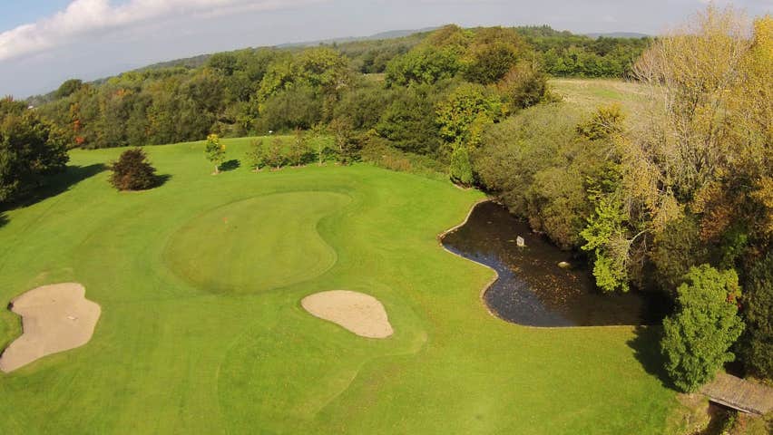 Field system in KilbarrymeadenField system · 97 yd
 St. Bernard's WellSpring · 525 yd
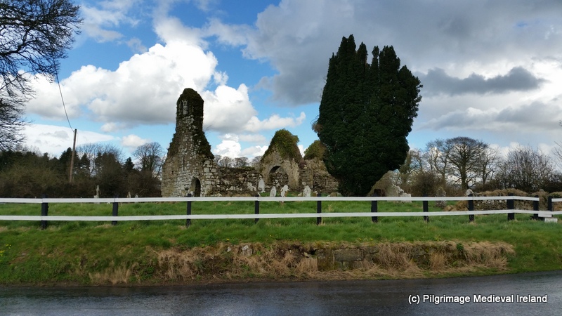 Ritual siteRitual site, holy tree/bush · 525 yd
 St. Martin's WellSpring · 1298 yd
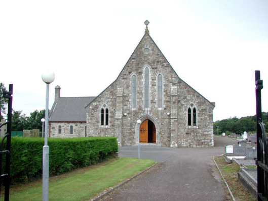 Catholic Church of Our Lady of Mount CarmelOfficially recorded historic building · 1527 yd
 Kilmurrin CoveBeach / strand · 1.8 mi
 Tankardstown 19th Century Copper Mining GeoparkHeritage attraction · 2.0 mi
 Boatstrand BeachBeach / strand · 2.0 mi
 Copper CoastCoastal geological landscape · 2.4 mi
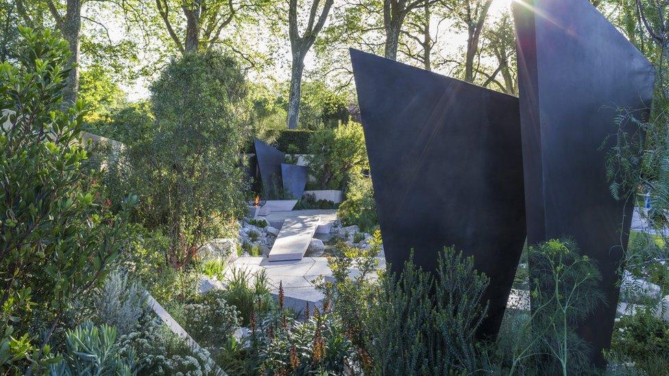 Geological GardenVisitor information · 2.4 mi
 Miners BucketVisitor information · 2.4 mi
Other information
Photo: Credit not shown in the picture search · Rights wording not checked; contact us if this picture should be removed