What is recorded here
Partly incorporated into a possible early ecclesiastical enclosure (KD004-018001-). A D-shaped area (int. diam. 28m E-W) with straight W side (L c. 18m) is defined by a broad, deep ditch (max Wth 7.4m; max D 2m) and a low, narrow, external earthen bank (Wth 0.8m; ext. H 0.4m) NW-E-SW, and by a low scarp (H 0.9m) along the W, from where two concentric arcs of wooden fencing extend the burial limits W (L 19m E-W) into the interior of the older enclosure (KD004-018001-). Legible grave markers commemorate burials from the late 17th century to the late-20thC. See Cullen and O'Leary (1999, 66-69) for plan and inventory of burials. The interior contained a font (KD004-018004-).
Compiled by: Gearóid Conroy
Date of upload: 10 June 2011
Early medieval graveyard, possibly associated with an ecclesiastical site; its location and ditched enclosure suggest a significant, though poorly understood, religious or ceremonial function in the local landscape.
The monument record does not grant public access. Check the route and ask the landowner before entering private land.
- What survives
- Recorded monument
Places near here
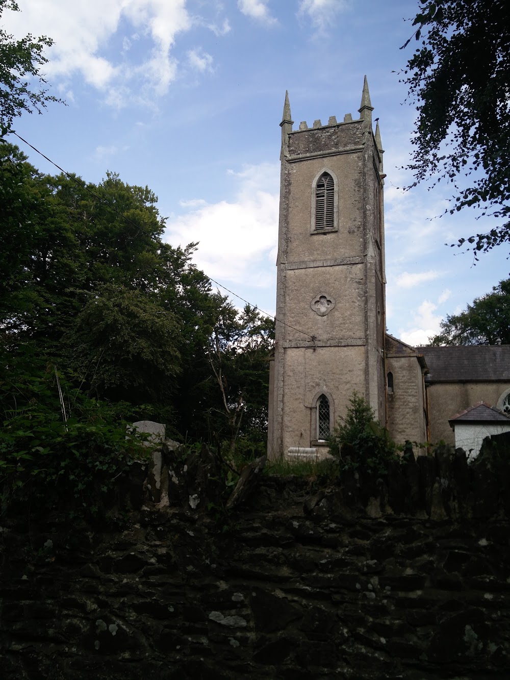 Church in HortlandChurch · 1 yd
 MoatCastle, motte · 75 yd
 water pumpwater pump · 1057 yd
 Ovidstown RathEnclosure · 1485 yd
 IndicatedFairy fort / earthen ringfort · 1.0 mi
 The Grill ShackHeritage attraction · 1.5 mi
 9/11 MemorialMemorial · 2.4 mi
 Site of Dunfierth CastleCastle, unclassified · 2.5 mi
 Donadea Forest ParkVisitor information · 2.6 mi
 Old Bog Road made famous by Teresa Bryton 1868-1943Memorial · 3.3 mi
 Loughtown CovertWood · 3.8 mi
 European ashEuropean ash · 3.9 mi