What is recorded here
Located on a slight W-facing slope in the valley of N-S stream. The early church and the parish church of Kilcowan (WX046-042001-) is within a subrectangular graveyard (dims 39.5m NW-SE; 32m NE-SW) defined by masonry walls and hedges. The bullaun stone (WX046-042006-) is set in the ground just NW of the church. Archaeological testing (12E0245) c. 70m E-SE of the graveyard and just outside the ecclesiastical enclosure failed to produce any related material (Cleary 2012). See this web-page access on 15/03/2016: http://www.excavations.ie/report/2012/Wexford/0023608/
Compiled by: Michael Moore
Date of amended upload: 20 August, 2103
The monument record does not grant public access. Check the route and ask the landowner before entering private land.
- What survives
- Recorded monument
Places near here
 Church (in ruins)Church · 7 yd
 IndicatedCastle, motte · 94 yd
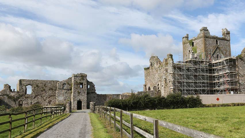 Castle (Site of)Castle, unclassified · 170 yd
 farm housefarm house · 389 yd
 Field system in Newhouse (bargy By.)Field system · 1399 yd
 Enclosure in RalphtownEnclosure · 1.0 mi
 Cull IslandIsland · 2.5 mi
 Ballyteigue BurrowNature reserve · 3.2 mi
 Ivan Sutton Art ExhibitionGallery · 3.9 mi
 Memorial Trail & Garden in Honour of Those Lost at SeaMemorial · 3.9 mi
 Whale boneHeritage attraction · 4.0 mi
 Kilmore Quay - Crehen Twinning MemorialMemorial · 4.0 mi