What is recorded here
Located on a level landscape. The parish church of Ballymore (WX047-037001-) is within a subrectangular graveyard (dims c. 40-45m NE-SW; c. 40-50m NW-SE) defined by low earthen banks and hedges, with a gateway at the W end of the SW side to a public road.
Compiled by: Michael Moore
Date of upload: 15 October, 2013
The monument record does not grant public access. Check the route and ask the landowner before entering private land.
- What survives
- Recorded monument
Places near here
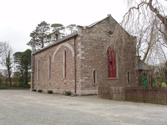 Church (in ruins)Church · 11 yd
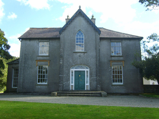 Butlerstown Castlecountry house · 1040 yd
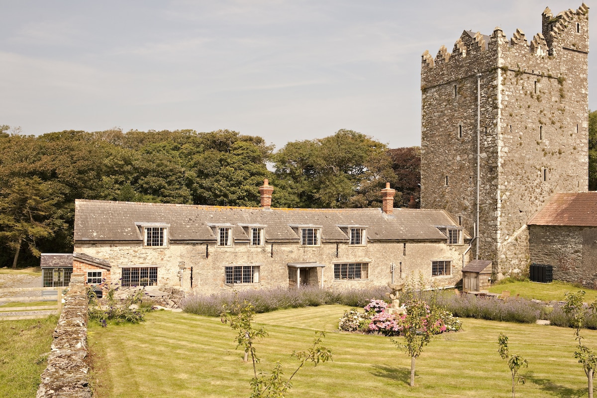 CastleCastle, tower house · 1087 yd
 Embanked enclosureFairy fort / earthen ringfort · 1101 yd
 Church (Site of)Church · 1200 yd
 The Heron's MeadowForest · 1.2 mi
 The Bull RockForest · 1.2 mi
 Ballyrane Castle (in ruins)Castle, tower house · 1.5 mi
 1798 Memorial PlaqueMemorial · 1.6 mi
 The HamBay · 1.7 mi
 Sigginstown Island (Great)Island · 2.3 mi
 Sigginstown Island (Little)Islet · 2.4 mi