What is recorded here
In grassland, on a S-facing slope of high ground with good panoramic views in all directions. Church (TS053-005001-) located in N sector of graveyard where it forms present N boundary of graveyard with graveyard wall running off NE angle of church and returning S and returns onto centre of W gable of church which forms an L-shaped graveyard (int. dims. 44m N-S; 30m E-W) enclosed by a limestone rubble wall. Earlier grass-covered wall-footings of graveyard wall visible 6m to N of church (TS053-005001-) and external fosse runs along outside of this boundary and runs around the church to E and S and W. At S and E the enclosure (TS053-005003-) is approx. 25m away from the exisiting boundary wall and at N and W approx. 6m away from graveyard wall. This appears to be the remains of an earlier enclosure which defines a larger burial area than the existing 19th century graveyard boundary wall. Several architectural fragments have been inserted into the graveyard as grave-markers possibly during a clean-up scheme and graveyard wall has been rebuilt in places with concrete blocks best visible at W and S stretches of the graveyard wall. Running off this earlier boundary are several earthworks which appear to represent small rectangular fields to N, E and S of church. These could be settlement earthworks associated with church or may be quarry holes associated with the nearby church, similar to quarry earthworks to N of Ballytarsna church (TS053-009----).
Compiled by: Jean Farrelly
Date of upload: 26 August 2011
The monument record does not grant public access. Check the route and ask the landowner before entering private land.
- What survives
- Recorded monument
Places near here
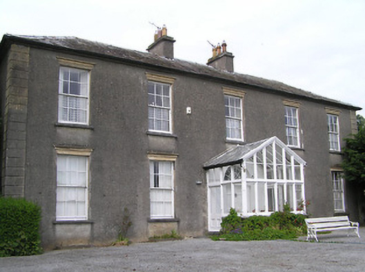 Gaile Househouse · 985 yd
 Killough Hill (site of)Mountain / peak · 1372 yd
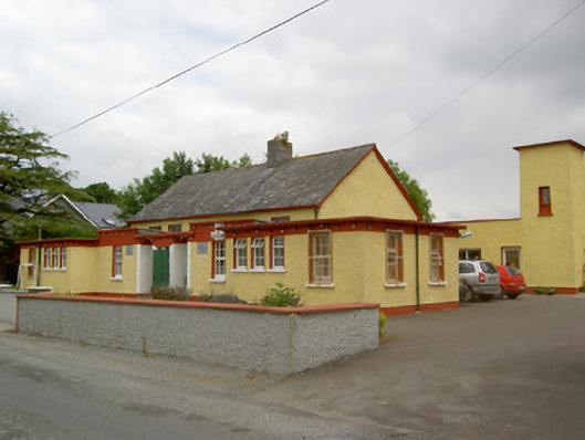 Gaile National Schoolschool · 1397 yd
 Ballytarsna Castle (in ruins)Castle, tower house · 1606 yd
 Enclosure in Killough (gaile Par.)Enclosure · 1.3 mi
 Enclosure in Ballytarsna (hackett)Enclosure · 1.5 mi
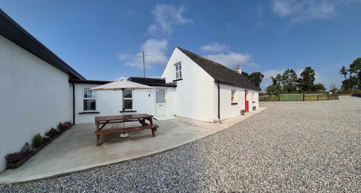 Bawn in Galbertstown LowerBawn · 1.9 mi
 Gift Horse GalleryGallery · 3.2 mi
 Horse and JockeyVisitor information · 3.9 mi
 Cormackstown Heritage CentreMuseum · 4.4 mi
 Wildlife CorridorWood · 4.5 mi
 Ballyknock HillMountain / peak · 4.8 mi