What is recorded here
N of the Kings River, near Ennisnag Bridge, in the SE quadrant of a crossroads. A graveyard associated with the medieval church of Ennisnag (KK027-020001-) which, according to Carrigan (1905, vol. 3, 374), ‘became a ruin soon after the Reformation, and was taken down about 1820, to supply materials for the present Protestant Church, which stands at its west end. Its patron was St. Mogue, whose feast day was celebrated on the 14th Feb.’. On the 1st (1839) ed. OS 6-inch the graveyard is indicated but does not seem to be enclosed, however, on the 25-inch OS map the graveyard is shown as extending from the stream, which forms the NE and E side, to the road in the W (dims. c. 113m E-W; c. 36m N-S). This stream flows into the Kings River c. 30m to the S. A road also runs along the NW boundary of the graveyard.
Within the graveyard there are two medieval graveslabs (KK027-020003-/KK027-020004-).
Compiled by: Jean Farrelly
Date of upload: 27 March 2023
Medieval Christian graveyard, associated with a church dating to the medieval period. Its significance lies in its connection to the historical church of Ennisnag and as a site of local religious and burial activity.
The monument record does not grant public access. Check the route and ask the landowner before entering private land.
- What survives
- Recorded monument
Places near here
 Saint Peter's Church (Ennisnag)church/chapel · 7 yd
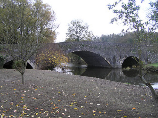 Ennisnag Bridgebridge · 86 yd
 TobermogueHoly well · 305 yd
 Coortaur Castle (in ruins)Castle, unclassified · 559 yd
 RIC BarracksMemorial · 1058 yd
 Petty Sessions Courthouse 1839Memorial · 1065 yd
 Enclosure in LawcusEnclosure · 1248 yd
 Cats WoodWood · 1.6 mi
 Prior's TowerCastle · 1.7 mi
 Ballyda Holy WellSpring · 1.7 mi
 Kells Augustinian PrioryHeritage attraction · 1.8 mi
 Kells Loop WalkWalking route · 1.9 mi