What is recorded here
Situated on the S side of what was once an island in Emlagh bog. The site of the early monastery and parish church of Emlagh is within a subrectangular graveyard (dims c. 45-65m N-S; c. 30-40m E-W) defined by earthen banks and hedges. In the interior are the remains of a mortuary enclosure (ext. dims 7m E-W; 5m N-S) with some 20th century headstones. The head of a cross (ME011-039004-), now taken into care by Meath County Council, was found in the graveyard in 2107. About 60m from the mortuary enclosure and at the base of the knoll on which it is situated is a slight scarp or ditch (Wth c. 5m; D 0.2-0.4m) N-E-S, which may form part of an ecclesiastical enclosure (ME011-039002-).
Compiled by: Michael Moore
Date of upload; 22 May, 2014
Amended: 10 April, 2019
Early medieval Christian graveyard, associated with a 7th-century monastery and parish church. Its location on an island in Emlagh bog highlights its strategic and religious significance in the monastic landscape of early Ireland.
The monument record does not grant public access. Check the route and ask the landowner before entering private land.
- What survives
- Recorded monument
Places near here
 Church (Site of)Church · 8 yd
 Rossmeen WoodWood · 1605 yd
 Gravelstown CastleCastle, unclassified · 1615 yd
 BalreaskMountain / peak · 1709 yd
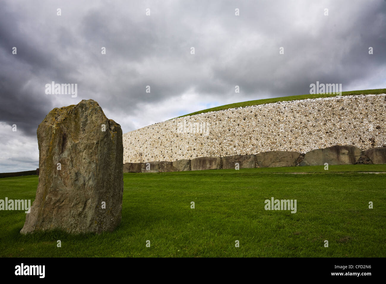 MoundArchaeological place · 1754 yd
 GravelstownMountain / peak · 1.0 mi
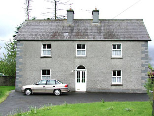 Reask Housefarm house · 1.2 mi
 Clongill Bog WoodlandWood · 1.3 mi
 John Mac MahonMemorial · 1.4 mi
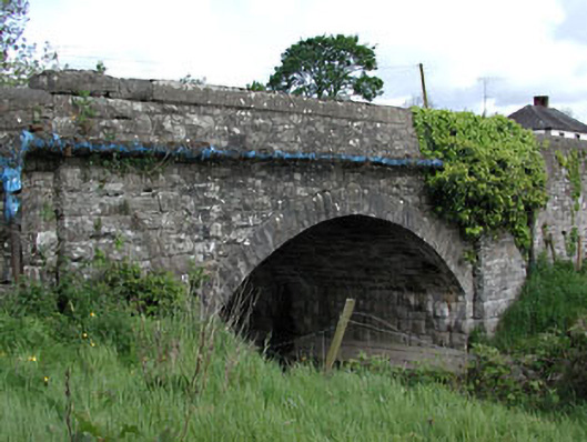 bridgebridge · 1.4 mi
 CastleCastle, ringwork · 1.7 mi
 Owenroe and Moynalty DrainageMemorial · 2.5 mi