What is recorded here
Clonleigh graveyard holds the broken ribs of a sixth-century church where medieval crosses still wait beneath the soil. The north wall stands tall enough to touch, preserving a hidden window and a blocked opening that suggest worship continued long after the first builders left. Donegal County Council recently exposed carved mouldings and a recumbent slab bearing a Maltese cross, proving the ground remains active rather than dead. The site sits on a low hill above the junction of the Deele and Foyle, where marsh water and human memory have both risen around the same stones.
Clonleigh graveyard (DG071-002005-) is believed to be the site of an early ecclesiastical settlement founded in the 6th century (Gwynn and Hadcock 1970, 377). The graveyard contains fragmentary sections of the N and S walls of a church (DG071-002002-) 6.8m wide internally. Built of rubble, the N wall is 6.1m long by 4.15m high by .93m thick; the lower courses, 1.1m high, of the interior central section are set out .27m from the wall face. W of this is a blocked-up opening with segmental rear-arch, probably a window. No visible trace of this opening survives on the exterior; the masonry indicates that this area was refaced. The S wall, 4.75m long by 4.5m high by 1.2m thick, contains an opposing blocked-up window with segment-headed rear-arch. The splayed ingoings are partially blocked by a bricked-in memorial; traces of wicker centering survive on the rear-arch soffit. This S wall forms part of the graveyard boundary. A sub-rectangular projection of the graveyard wall some 9.7m to the E might have been associated with the church. No visible trace of the E or W gables remains. Recent work at the graveyard by Donegal County Council (after the completion of the survey) has revealed three fragments of medieval carved mouldings (DG071-002003-) partially buried in the soil. In addition a recumbent slab (DG071-002004-), 1.68m × 0.38m at top, .32m at bottom, has been revealed. Near the wider end of the slab is a deeply carved Maltese cross .32m × 0.32m with a raised boss 9 cms in diameter at the centre. The slab, which is also still partially buried, and the mouldings are located on the E side of the graveyard in the general area of the ruined church. The site is located on a low drumlin-like hill surrounded by level marshy (now much reclaimed) land in the flood plain near the junction of the Rivers Deele and Foyle.
Early medieval ecclesiastical graveyard, 6th century. Significance lies in its potential association with an early Christian settlement and monastic activity in the region.
The official description records surviving remains. Its missing or destroyed wording refers only to one part of this place or to a different nearby feature. The monument record does not grant public access. Check the route and ask the landowner before entering private land.
- What survives
- Visible or partial remains survive
Places near here
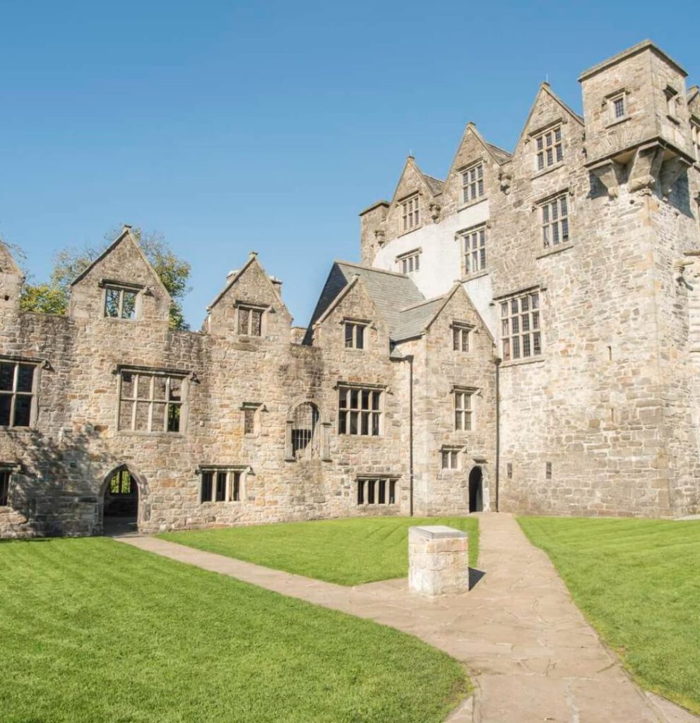 Ecclesiastical site in Edenmore (clonleigh North Ed)Ecclesiastical site · 1 yd
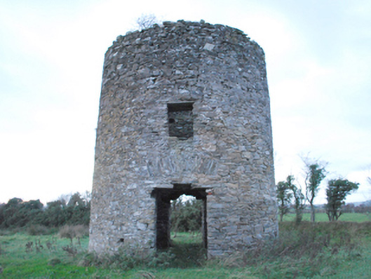 mill (wind)mill (wind) · 974 yd
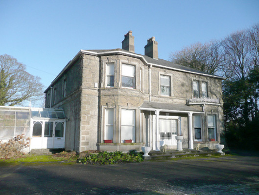 Drumboy Househouse · 1100 yd
 Druminaw Earthen RingfortFairy fort / earthen ringfort · 1718 yd
 BATTLE SITE: BATTLE OF THE FORDS, Central crossing, 1689 in Magirr; Town Parks OF StrabaneBATTLE SITE: BATTLE OF THE FORDS, Central crossing, 1689 · 1.1 mi
 Abercorn FactoryHeritage attraction · 1.5 mi
 Second World War MemorialMemorial · 1.5 mi
 Battle of Knockavoe BattlefieldBattlefield · 1.6 mi
 CASTLE in Town Parks OF StrabaneCASTLE · 1.6 mi
 Gray PrinterHeritage attraction · 1.7 mi
 Strabane Glen (Bird Sanctuary)Wood · 1.7 mi
 1916 Easter Rising Memorial StoneMemorial · 1.7 mi