What is recorded here
In grassland, 370m NE of Dunnaman Castle (LI030-012----). A roughly rectangular-shaped graveyard (c. 37m N-S x 44m E-W) covered in scrub vegetation making examination impossible that is enclosed by a post-medieval stone wall with medieval nave and chancel church ruins (LI021-018001-) in S quadrant. Entrance gate at N end of W wall with stone stile in centre of S wall of graveyard. Section of graveyard wall collapsed in centre of the W wall. Earthworks visible on Digital Globe aerial photographs in field immediately to N, E and S appear to represent the remains of an earlier ecclesiastical enclosure (LI021-081004-).
Compiled and revised by: Caimin O'Brien
Date of revised upload: 04 March 2019
The monument record does not grant public access. Check the route and ask the landowner before entering private land.
- What survives
- Recorded monument
Places near here
 Dunnamancastle Housefarm house · 390 yd
 Bawn in DunnamanBawn · 440 yd
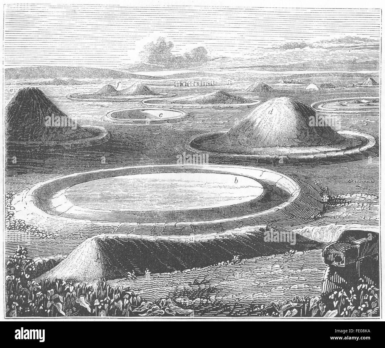 BarrowBarrow, mound barrow · 1582 yd
 Castleroberts Bridgebridge · 1625 yd
 Site of CastleCastle, unclassified · 1.0 mi
 Dysert AenghusaHeritage attraction · 1.4 mi
 Kinnoor WellSpring · 1.5 mi
 Biodiversity in the Maigue CatchmentVisitor information · 2.4 mi
 Flat cemetery in Kiltenan SouthFlat cemetery · 2.5 mi
 European ashEuropean ash · 3.0 mi
 KnockfeerinaMountain / peak · 4.1 mi