What is recorded here
Situated on the S side of a low E-W spur where the Cistercian abbey (WX039-030001-) is located c. 120m to the NE. It is on the flood-plain of the estuary of the ENE-WSW Campile River, on the N side of a small SE-NW stream c. 50m E of where the stream joins a N-S section of the Campile. The W wall of the Capella ante portas (lay chapel or parish church) of Dunbrody Abbey (WX039- 029001-) forms part of a rectangular graveyard (dims c. 48m N-S; c. 20m E-W) defined by masonry walls.
Compiled by: Michael Moore
Date of upload: 25 January, 2013
The monument record does not grant public access. Check the route and ask the landowner before entering private land.
- What survives
- Recorded monument
Places near here
 Chapel (in ruins)Church · 21 yd
 Dunbrody Abbey (in ruins)Religious house, Cistercian monks · 161 yd
 Field system in DunbrodyField system · 252 yd
 Dunbrody Abbey Hedge MazeHeritage attraction · 391 yd
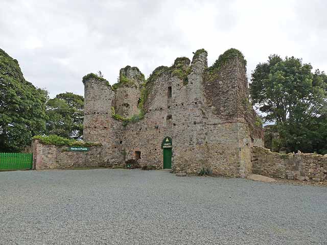 Dunbrody CastleCastle · 405 yd
 Dunbrody Abbey Visitor CentreHeritage attraction · 418 yd
 Ladys WellHoly well · 1008 yd
 Campile WWII Bombing MemorialMemorial · 1564 yd
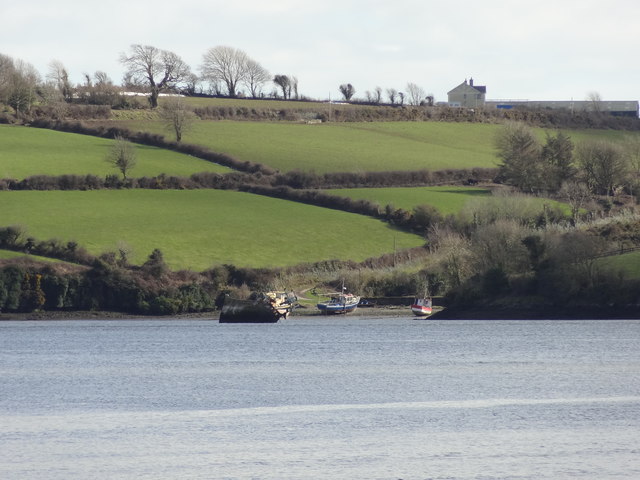 Nook BayBay · 1.4 mi
 Cheek PointHeadland · 1.5 mi
 IndicatedCastle, ringwork · 1.6 mi
 Goat IslandIsland · 2.1 mi