What is recorded here
Situated on an E and a steep S-facing slope overlooking the town of Bailieborough, the Main Street of which is extending off to the SE on fairly level ground c. 200m distant. The first Church of Ireland parish church of Bailieborough (CV034-022----), which was in use c. 1780-c. 1840, is also at the SW edge of a triangular graveyard (max. dims c. 90m NW-SE; c. 55m NE-SW) defined by masonry walls with the apex at SE where there is a gate. The headstones date from c. 1810 to 1945.
Compiled by: Michael Moore
Date of upload: 18 March 2020
The monument record does not grant public access. Check the route and ask the landowner before entering private land.
- What survives
- Recorded monument
Places near here
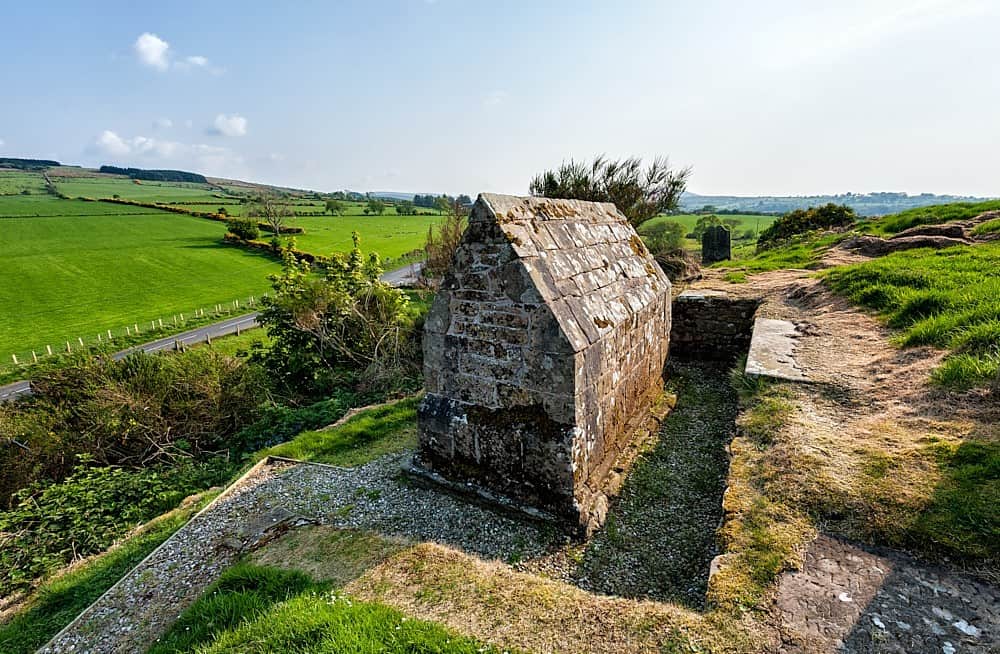 Old ChurchChurch · 32 yd
 Bailieborough Churchchurch/chapel · 150 yd
 CastleCastle, motte · 1083 yd
 In Memory of Patrick KiernanMemorial · 1434 yd
 Brothers GravesVisitor information · 1539 yd
 Drumbannan FortArchaeological place · 1549 yd
 Castle Lake ForestForest · 1743 yd
 Rebel HillMemorial · 1.2 mi
 Welcome to Bailieborough DemesneVisitor information · 1.5 mi
 IndicatedFairy fort / earthen ringfort · 1.6 mi
 Crocknahattin ForestForest · 1.7 mi
 DrumacarrowMountain / peak · 1.8 mi