What is recorded here
Located on the W-facing slope of a N-S sand dune with the seashore just to the E. The site of the parish church of Donaghmore (WX017-007001-) is within a subrectangular graveyard (dims. 60m N-S; 42m E-W) defined by a masonry wall on the roadside at E and by a stone-clad earthen bank elsewhere.
Compiled by: Michael Moore
Date of upload: 21 May, 2012
The monument record does not grant public access. Check the route and ask the landowner before entering private land.
- What survives
- Recorded monument
Places near here
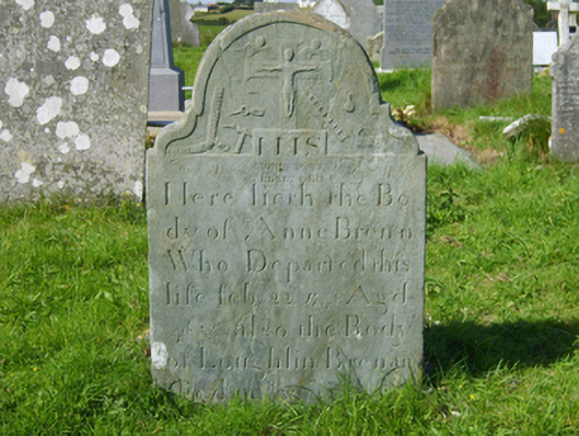 graveyard/cemeterygraveyard/cemetery · 34 yd
 Donaghmore BeachBeach / strand · 207 yd
 Glascarrig PrioryRuins · 850 yd
 IndicatedFairy fort / earthen ringfort · 1082 yd
 Glascarrig AbbeyArchaeological place · 1155 yd
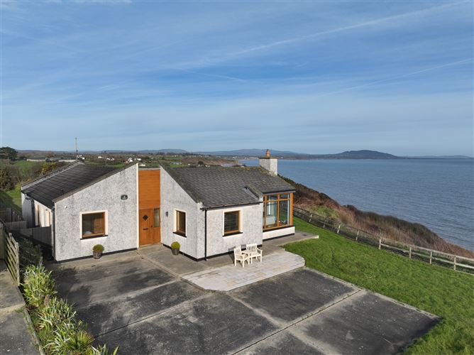 Roney Point BeachBeach / strand · 1261 yd
 1798 MemorialMemorial · 1.2 mi
 Wexford - TexasMemorial · 1.4 mi
 Gilligan's CaveCave · 1.8 mi
 Shrule Deer FarmHeritage attraction · 2.7 mi
 The Cahore Polders and DunesNature reserve · 3.7 mi
 Courtown Amusement CentreHeritage attraction · 3.8 mi