What is recorded here
In grassland atop a natural rise of ground surrounded on three sides by Derryvella Bog with good views in all directions. The area of graveyard is undefined within a heavily overgrown ecclesiastical enclosure (TS048-035003-), with a church (TS048-035001-) in the E quadrant. There are some grass-covered stones within the interior which barely protrude above the surface of the ground, however, there are no visible remains of any grave-markers or headstones.
Compiled by: Jean Farrelly
Date of upload: 26 August 2011
This remains an important historical record, but the official description says the monument is no longer visible or has been destroyed. The monument record does not grant public access. Check the route and ask the landowner before entering private land.
- What survives
- No visible remains or recorded as destroyed
Places near here
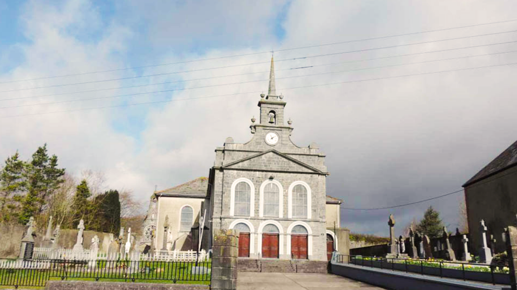 Derryvella Church (in Ruins)Church · 18 yd
 Grave YardEcclesiastical enclosure · 31 yd
 RoadRoad, unclassified togher · 338 yd
 StructureStructure, peatland · 509 yd
 Derrynaflan TrailHeritage attraction · 1.4 mi
 Waterloo HillMountain / peak · 1.4 mi
 Bog Castle (in Ruins)Castle, unclassified · 1.9 mi
 Mellisson CastleCastle, tower house · 2.5 mi
 Gobban Saer's GraveArchaeological place · 3.0 mi
 Sweet ChestnutSweet Chestnut · 3.2 mi
 Slieveardagh Heritage CentreVisitor information · 3.4 mi
 Horse and JockeyVisitor information · 3.8 mi