What is recorded here
Situated on rock outcrop in a fairly level landscape overlooking a W-E stream c. 10m to the S. This is a D-shaped area (max. dims 70m E-W; 28m N-S) defined by an intermittently visible masonry wall at S, where there is an E-W road, and elsewhere by a scarp and outer drain or slight fosse. It contains 19th- and 20th-century graves and was called 'Achadh Leachaigh' in the 19th century (O'Flanagan 1929, 134), but no church is known to have been associated with it. The site of 'Tobar Bheo Aogha' or 'Tobar Buay' (LE017-008----) lies c. 75m to the W.
The above description is derived from 'The Archaeological Inventory of County Leitrim' compiled by Michael J. Moore (Dublin: Stationery Office, 2003). In certain instances the entries have been revised and updated in the light of recent research.
Date of upload: 23 September 2008
The monument record does not grant public access. Check the route and ask the landowner before entering private land.
- What survives
- Recorded monument
Places near here
 Tober BuayHoly well · 214 yd
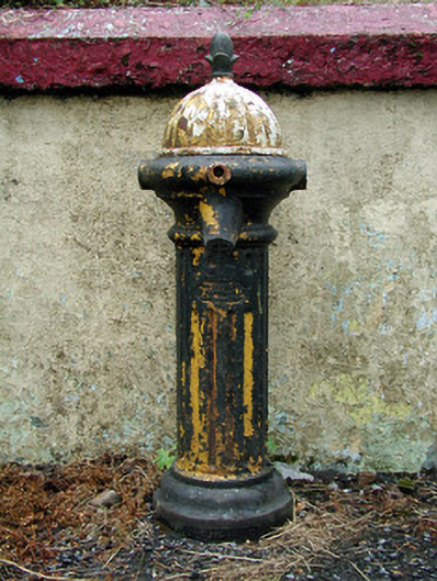 water pumpwater pump · 1108 yd
 LisdrumgranFairy fort / earthen ringfort · 1149 yd
 Kellyhouse · 1454 yd
 Drummans IslandIslet · 2.8 mi
 European ashEuropean ash · 3.4 mi
 Black PoplarBlack Poplar · 3.4 mi
 Seltannasaggart SE SlopeMountain / peak · 3.6 mi
 Corry IslandIslet · 3.7 mi
 Scardan WaterfallWaterfall · 3.7 mi
 Forde's CastleCastle · 4.0 mi
 Carrane HillCliff · 4.4 mi