What is recorded here
Located at the NW foothills of Carrickbyrne Hill, and at the S edge of a small E-W valley with the stream c. 170m to the N. The chapel of Hoel (WX035-012001-) is within a rectangular graveyard (dims c. 40m E-W; c. 35m N-S) defined by earthen banks with external stone-facing on all sides except the W where there is a masonry wall at the roadside. The site of Tobermurry well (WX035-011----) is c. 170m to the N.
Compiled by: Michael Moore
Date of upload: 15 October, 2012
The monument record does not grant public access. Check the route and ask the landowner before entering private land.
- What survives
- Recorded monument
Places near here
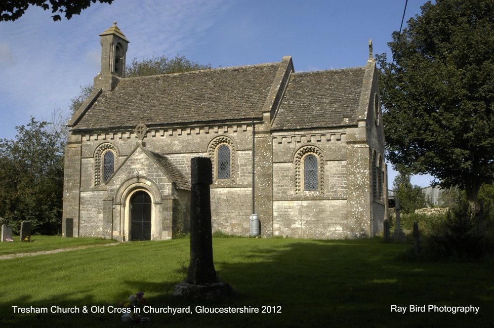 Cross in Courthoyle OldCross · 14 yd
 TobermurryHoly well · 197 yd
 Castle in ruinsCastle, tower house · 536 yd
 Carrickbyrne HillMountain / peak · 1368 yd
 kilnkiln · 1589 yd
 hedge schoolRuins · 1.0 mi
 Site of CastleCastle, unclassified · 2.0 mi
 Glenour MonumentMemorial · 3.3 mi
 Carrickmastia HillMountain / peak · 3.4 mi
 Forest Of The DunbrodyForest · 4.1 mi
 Coolcliffe HouseRuins · 6.1 mi
 Carrig-On-BannowVisitor information · 9.8 mi