
What is recorded here
Marked at different locations on the 1839 and 1925 eds of the OS 6-inch map and described as Tobermurry - Mary's Well - in gothic lettering on both. It is situated in a small E-W valley with the headwaters of a stream c. 10m to the N. It is not visible at ground level in pasture. Courthoyle church site (WX035-012001-) is c. 170m to the S.
Compiled by: Michael Moore
Date of upoad: 12 Octiber, 2012
Linked to Saint Mary, the well is traditionally associated with healing and protection, with pilgrimages and offerings historically made for her intercession. The use of gothic lettering on the Ordnance Survey maps suggests a degree of veneration and possible continuity of use from pre-modern times.
The monument record does not grant public access. Check the route and ask the landowner before entering private land.
- What survives
- Recorded monument
Places near here
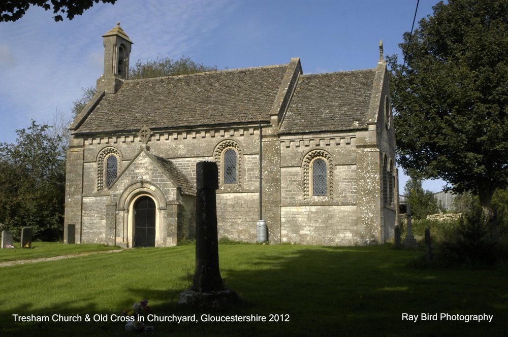 Cross in Courthoyle OldCross · 211 yd
 Embanked enclosureFairy fort / ringfort · 715 yd
 Castle in ruinsCastle, tower house · 725 yd
 Carrickbyrne HillMountain / peak · 1441 yd
 hedge schoolRuins · 1.0 mi
 kilnkiln · 1.0 mi
 Site of CastleCastle, unclassified · 1.9 mi
 Glenour MonumentMemorial · 3.3 mi
 Carrickmastia HillMountain / peak · 3.3 mi
 Forest Of The DunbrodyForest · 4.1 mi
 Coolcliffe HouseRuins · 6.2 mi
 Carrig-On-BannowVisitor information · 9.9 mi
Other information
Photo: Credit not shown in the picture search · Rights wording not checked; contact us if this picture should be removed