What is recorded here
On a NE-facing slope, in rough grazing with outcropping bedrock. Associated with the multiperiod church (KK030-004001-) of Coolaghmore, an irregularly shaped graveyard which appears to have been enclosed after 1839, as on the 1st ed. OS 6-inch map it is defined by a dashed line which indicates that it was unenclosed. According to the OS Letters (1839), 'a Patron [is] held here on the first Sunday in September but they have no remembrance of a Patron Saint' (O'Flanagan 1930, vol. 2, 47).
The graveyard (dims. c. 75m N-S at E, tapering to c. 37m at W; c. 64m E-W) is enclosed by a stone wall with an entrance gate in the SE angle. Carrigan (1905, vol. 3, 336), noted two 13th/14th-century coffin-shaped graveslabs (KK030-004010-; KK030-004011-) in the graveyard and another graveslab (KK030-004009-) was noted c. 7m S of the church during ASI fieldwork. The majority of the headstones in the graveyard are located S of the church, though there are some to the N of the church.
Compiled by: Jean Farrelly
Date of upload: 20 July 2023
The monument record does not grant public access. Check the route and ask the landowner before entering private land.
- What survives
- Recorded monument
Places near here
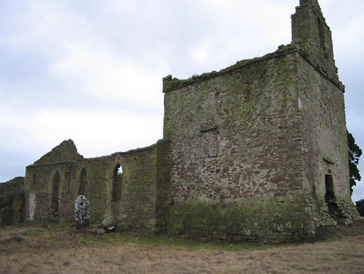 Coolaghflags Catholic Chapelchurch/chapel · 10 yd
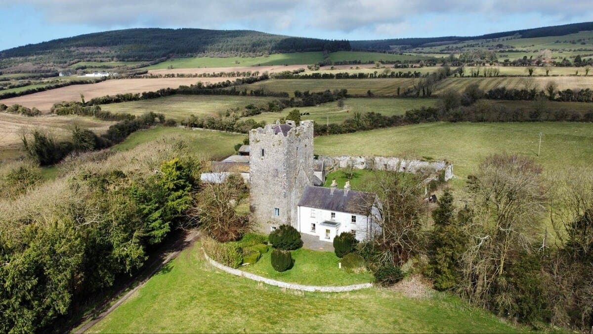 CastleCastle, tower house · 17 yd
 Holy well in CoolaghmoreHoly well · 22 yd
 HawthornHawthorn · 107 yd
 Coolaghmore National SchoolMemorial · 275 yd
 Catholic Church of Our Ladychurch/chapel · 384 yd
 European ashEuropean ash · 1040 yd
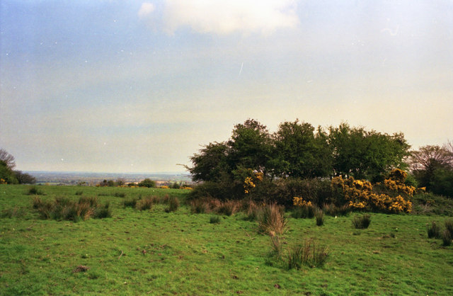 Fairy fort / ringfort in CoolaghflagsFairy fort / ringfort · 1202 yd
 James (Jim) McKennaMemorial · 1.6 mi
 Wellington Ho.Castle, unclassified · 2.2 mi
 Mill IslandIslet · 2.4 mi
 Green StreetVisitor information · 2.8 mi