What is recorded here
In meadow. Marked on OS map (1838) as 'Grave Yard'; in earthwork (MA117-018001-). Square shaped mound (17.4m N-S; 18m E-W; H 0.7m) containing several grave markers.
The above description has been derived from D. Lavelle (compiler), An Archaeological Survey of Ballinrobe and District including Lough Mask and Lough Carra. Lough Mask and Lough Carra Tourist Development Association (1994), No. 670.
Date of upload: 6 November 2013
The monument record does not grant public access. Check the route and ask the landowner before entering private land.
- What survives
- Recorded monument
Places near here
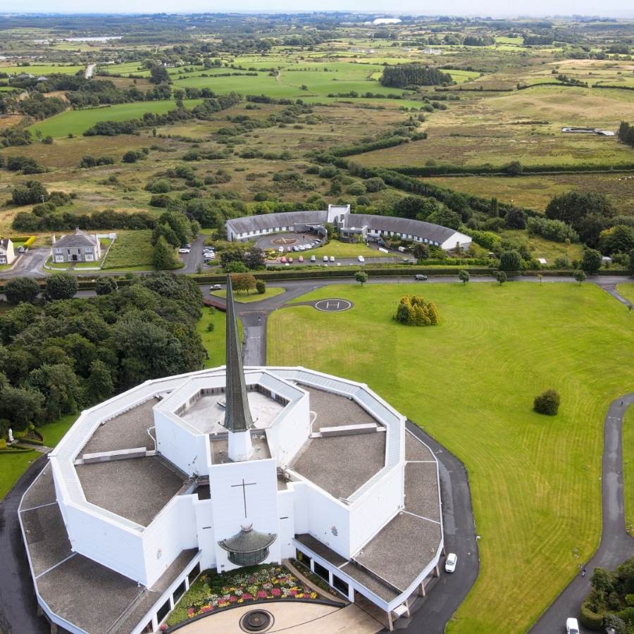 Ecclesiastical enclosure in Kilkeeran (kilmaine By., Ballinrobe Par.)Ecclesiastical enclosure · 636 yd
 IndicatedFairy fort / earthen ringfort · 654 yd
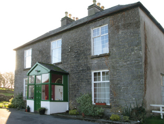 Springvale Housefarm house · 1282 yd
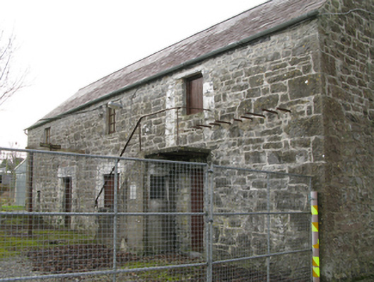 mill (water)mill (water) · 1322 yd
 LabbadermotCave · 1604 yd
 Castle in ruinsCastle, unclassified · 1.1 mi
 CastleCastle, unclassified · 1.3 mi
 European ashEuropean ash · 1.4 mi
 Long IslandIslet · 1.7 mi
 Carrigeen ShangormanIslet · 1.8 mi
 Black RocksNamed rock · 2.9 mi
 Devenish RocksNamed rock · 3.1 mi