What is recorded here
On top of the S end of a N-S ridge with good extensive views in all directions, with Clogher Castle and bawn (TS046-038---- and TS046-038001-) 250m to the N, at the end of the ridge. A rectangular church (TS046-039001-) is centrally located within a square-shaped graveyard (int. dims. 56m N-S ; 60m E-W) which is enclosed by a rubble limestone wall. The earliest visible headstones date to the 18th century. Underneath the graveyard wall, near the NW angle of the graveyard, there are the possible remains of a small rectangular enclosure which may be the remains of a building of unknown antiquity.
Compiled by: Jean Farrelly
Date of upload: 26 August 2011
The monument record does not grant public access. Check the route and ask the landowner before entering private land.
- What survives
- Recorded monument
Places near here
 Clogher Church (in ruins)Church · 4 yd
 RoadRoad, road/trackway · 145 yd
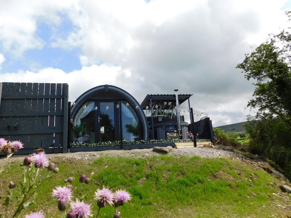 Enclosure in ClogherEnclosure · 230 yd
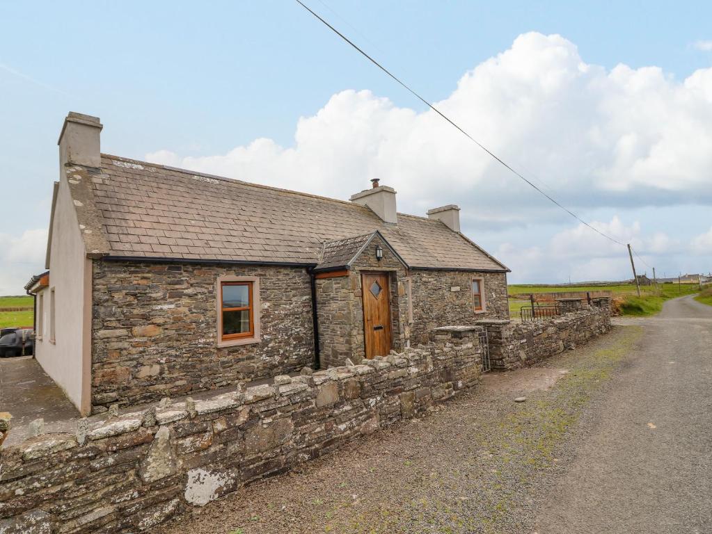 Bawn in ClogherBawn · 285 yd
 Clogher CastleCastle · 315 yd
 Druids AltarMegalithic structure · 375 yd
 Clonoulty HillMountain / peak · 1.1 mi
 Drum WoodWood · 2.1 mi
 Cormackstown Heritage CentreMuseum · 4.4 mi
 Killough Hill (site of)Mountain / peak · 4.4 mi
 Wych ElmWych Elm · 5.0 mi
 Soloheadbeg Ambushambush · 11 mi