What is recorded here
Situated in a low-lying landscape. The site of the parish church of Liskinfere (WX011-036001-) is within a subcircular graveyard (diam. c. 30-40m) surrounding the presnet Church of Ireland church. John O'Donovan writing c. 1840 (O'Flanagan 1933, vol. 1, 14) records that the site of the old church of Clogh is occupied by this structure. The subrectangular graveyard (dims. c. 60m E-W; c. 40m N-S) extending off to the W may be an extension of an original graveyard around the church, although the rectangular graveyard is marked on the 1839 ed. of the OS 6-inch map.
Compiled by: Michael Moore
Date of upload: 12 April, 2012
The monument record does not grant public access. Check the route and ask the landowner before entering private land.
- What survives
- Recorded monument
Places near here
 Church in Churchtown (gorey By.)Church · 1 yd
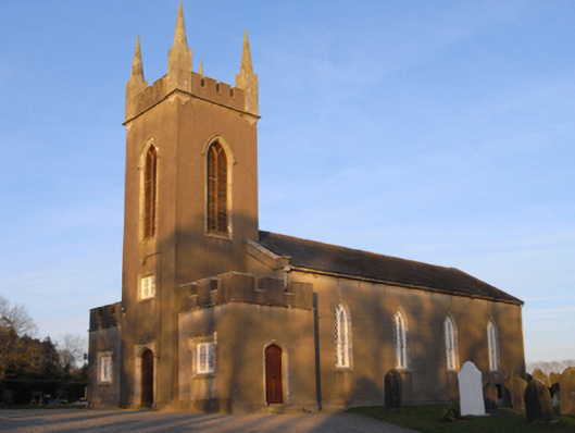 Saint Luke's Church (Liskinfere)church/chapel · 9 yd
 Fulacht fia in Moneycross UpperFulacht fia · 511 yd
 Field system in Moneycross UpperField system · 610 yd
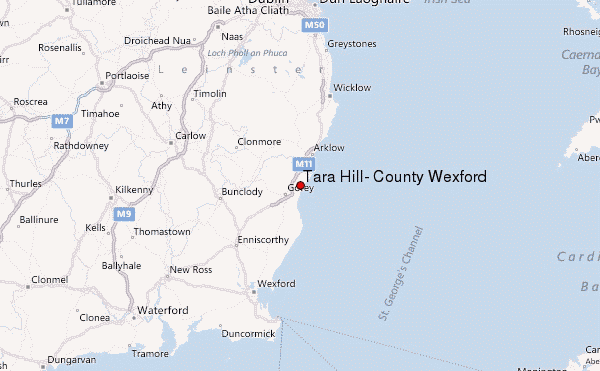 Ballyminaun HillMountain / peak · 1.5 mi
 Barnadown WoodWood · 1.7 mi
 Gorey HillMountain / peak · 2.2 mi
 1798 MonumentMemorial · 2.6 mi
 Market HouseHeritage attraction · 2.9 mi
 Ballingarry WoodForest · 4.0 mi
 Giants BedNamed rock · 4.7 mi
 Saint Brigid's WellSpring · 5.2 mi