What is recorded here
On top of high ground with good views in all directions, with a nearby hall-house (TS043-005002-) located 200m to the NE. The church is now incorporated in a farm outhouse (ext. dims. 8m N-S; 18m E-W; wall T 0.8m) which the landowner believes is the church building itself. A medieval cut limestone pointed doorway (Wth 1.14m; H 2.25m) is now visible W of centre in the S wall, probably the original church doorway but not in its original position. The W end of the outhouse is a single-storey building, with a steeply pitched slated roof, orientated on an E-W axis, constructed with rubble limestone and covered in a whitewash render. The E end of the building is two storeys high and has a steeply pitched slated roof with external stairs giving access to the loft of the outhouse. No other features are visible. A hen house is built against the external face of the S wall, E of centre. The OS Letters (1840) mention an old church and graveyard (TS043005004-) located in the area marked on the OS 6-inch map (O'Flanagan 1930, vol. 1, 160) and the church is depicted on the Down Survey map (1655-6).
Compiled by: Jean Farrelly
Date of upload: 26 August 2011
The monument record does not grant public access. Check the route and ask the landowner before entering private land.
- What survives
- Recorded monument
Places near here
 Black CastleCastle, hall-house · 292 yd
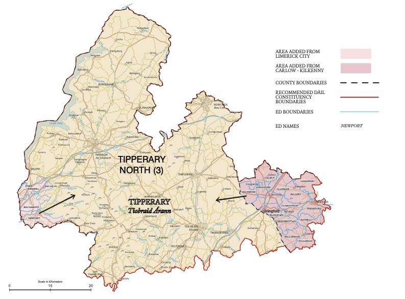 IndicatedEnclosure · 419 yd
 St. Patricks WellHoly well · 1029 yd
 Fennor Castle (in Ruins)Castle, unclassified · 1566 yd
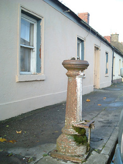 water pumpwater pump · 1607 yd
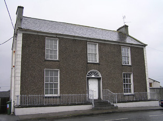 Townview Househouse · 1634 yd
 KilcooleyForest · 2.4 mi
 Kilcooly AbbeyHeritage attraction · 2.5 mi
 Serpentine WoodForest · 2.6 mi
 John HelyMemorial · 3.0 mi
 DelaneyMemorial · 3.1 mi
 Clomantagh HillMountain / peak · 3.7 mi