What is recorded here
On a rise. A rectangular graveyard (61m E-W; 46m N-S) enclosed by a random rubble limestone wall. According to local information, people wishing to bury their dead had to bring in earth because of the rocky nature of the ground. Molahiffe church (KE048-036001-) is situated in the NE quadrant of the graveyard. (CDAS; O'Hare 2000, 94-6)
See attached plan of church and graveyard courtesy of Stephen Hourihane
Compiled by: Elizabeth Byrne, Ursula Egan and Sheila Ronan, Archaeological Survey Unit, University College, Cork.
Date of upload: 31 January 2011
A rectangular graveyard with a limestone wall; likely medieval or later. Its significance lies in reflecting local burial practices and land adaptation in a rocky landscape.
The monument record does not grant public access. Check the route and ask the landowner before entering private land.
- What survives
- Recorded monument
Places near here
 Molahiffe Church (in rRuins)Church · 10 yd
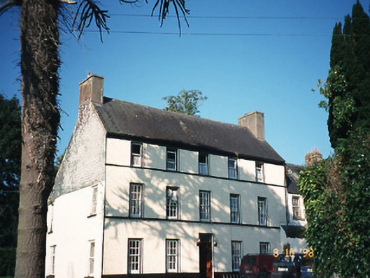 Castlefarmhouse · 154 yd
 CastleCastle, ringwork · 192 yd
 Site of CourtCastle, unclassified · 224 yd
 Partially indicatedEcclesiastical enclosure · 819 yd
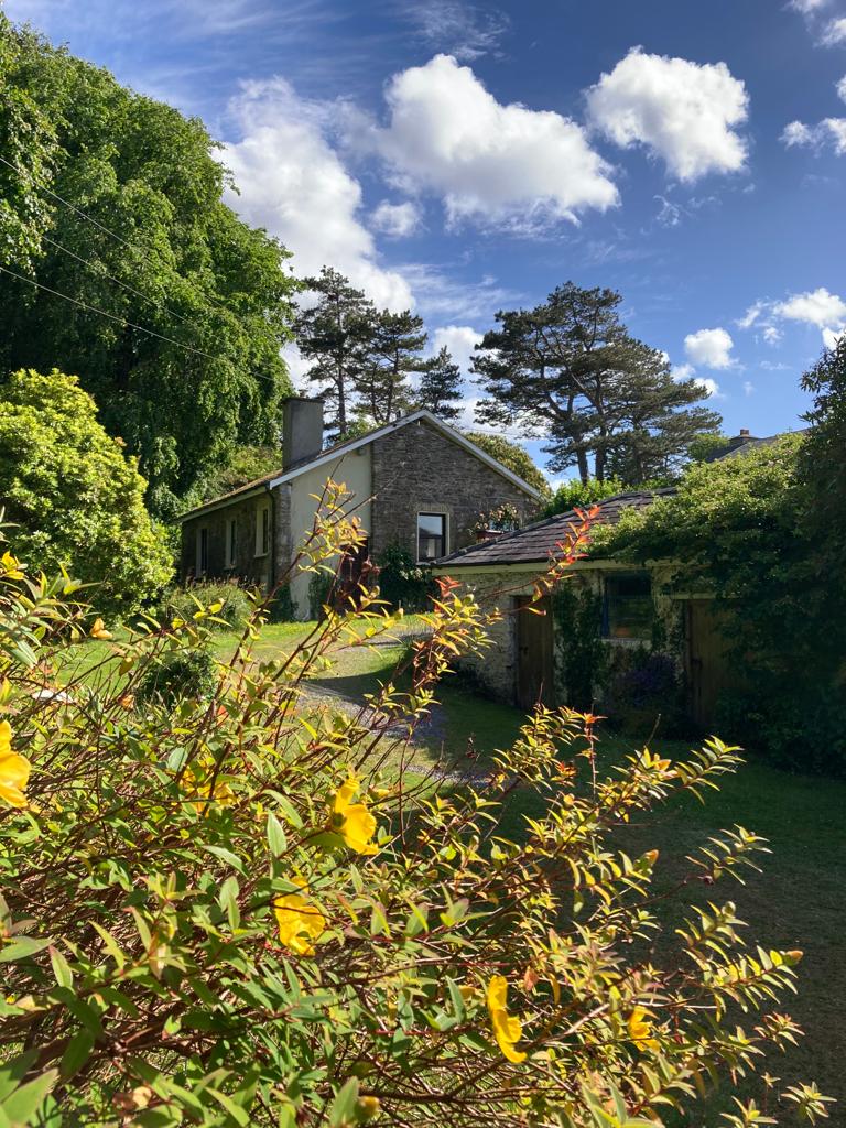 Enclosure in CastlefarmEnclosure · 825 yd
 Ballygamboon Forest Recreation AreaWood · 3.8 mi
 Monument WoodWood · 5.5 mi
 The Kerry Creamery ExperienceHeritage attraction · 5.6 mi
 Scotia's GraveArchaeological place · 5.6 mi
 Aghadoe Early Medieval Ecclesiastical SiteHeritage attraction · 7.5 mi
 Famine MemorialMemorial · 8.6 mi