What is recorded here
Associated with a medieval church (GA105-049002-), which occupies its SE end, this graveyard (c. 110m NW-SE; c. 96m NE-SW) is delimited by a well-built rubble wall with a cement cap. Most of the tombstones date to the 19th and 20th centuries and a number of graves are marked by finely wrought iron crosses.
Compiled by: Galway Archaeological Survey, UCG
Date of upload: 27 January 2020
The monument record does not grant public access. Check the route and ask the landowner before entering private land.
- What survives
- Recorded monument
Places near here
 St. Bridgets ChurchChurch · 34 yd
 St. Bridgets WellHoly well · 142 yd
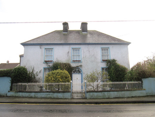 Saint Bride'shouse · 234 yd
 St. Brendans Catholic CathedralCathedral · 682 yd
 Bush IslandIslet · 968 yd
 Middle IslandIslet · 1002 yd
 Ballygasty Castle in ruinsCastle, unclassified · 1.1 mi
 Long PointHeadland · 1.1 mi
 Raruddy Castle (in ruins)Castle, tower house · 1.6 mi
 Turoe StoneHeritage attraction · 3.6 mi
 Dartfield Horse MuseumHeritage attraction · 3.8 mi
 Scalpeen RockNamed rock · 5.9 mi