What is recorded here
Located towards the top of the NE-facing slope of a hill. The grass-covered foundations of the parish church of Brownstown (ME026-014----) are within a neglected subrectangular graveyard (dims c. 40m N-S; c. 40m E-W) with rounded corners defined by masonry walls that has a small number of headstones dating from 1786 to 1934. Cogan (1862-70, 1, 347-8) records that there was a tomb here of Catherine Plunkett, a daughter of Mathew Plunkett, baron of Louth, which would date c. 1700, but this tomb was not identified. Archaeological testing (16E0401) by D. Finn c. 80m to the NNE of the graveyard at the closest point produced no related material (excavations.ie 2016:526).
Compiled by: Michael Moore
Date of revised upload: 22 December, 2014
Amended: 9 April 2021
The monument record does not grant public access. Check the route and ask the landowner before entering private land.
- What survives
- Recorded monument
Places near here
 Church (in Ruins)Church · 9 yd
 Enclosure in Brownstown (skreen By.)Enclosure · 1308 yd
 Realtogue FortArchaeological place · 1.0 mi
 Site of Old CastleCastle, unclassified · 1.0 mi
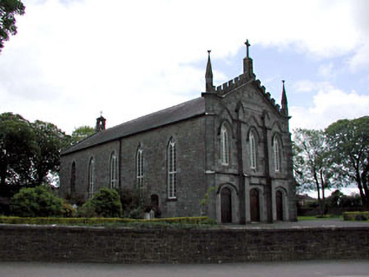 Catholic Church of the Assumptionchurch/chapel · 1.3 mi
 CastleCastle, tower house · 1.7 mi
 European ashEuropean ash · 1.8 mi
 European BeechEuropean Beech · 2.1 mi
 Carn HillMountain / peak · 2.8 mi
 Candle HillMountain / peak · 3.6 mi
 Hill of TaraVisitor information · 4.5 mi
 Tara Open StudioGallery · 4.5 mi