What is recorded here
On the S side of a road, on the narrow summit of a short, low, N-S pasture ridge in an area of mixed tillage and pasture. An almost square area (dims. L c. 70m; Wth c. 70m) is enclosed by a stone wall and entered from the road along the N. Contains a church (KD014-041001-) in the N sector, with the main concentration of burials to its S. The oldest, legible grave markers date to the 19th century and stand to the E and W of the church. The E and W perimeter and S-third of the interior are planted with palm trees.
Compiled by: Gearóid Conroy
Date of upload: 10 June 2011
The monument record does not grant public access. Check the route and ask the landowner before entering private land.
- What survives
- Recorded monument
Places near here
 Church (in Ruins)Church · 29 yd
 EnclosureEnclosure, large enclosure · 743 yd
 Enclosure in CastlesizeEnclosure · 1051 yd
 CastleCastle, tower house · 1416 yd
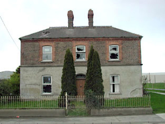 Home Farm Housemiller's house · 1.0 mi
 Castle (in Ruins)Castle, unclassified · 1.1 mi
 Dunne's IslandWood · 1.6 mi
 King Mesgegra’s Mound & later Norman MotteMemorial · 1.7 mi
 ICAMemorial · 1.9 mi
 Naas ParkWood · 2.4 mi
 Poplar SquarePicnic place · 3.2 mi
 Athgoe HillMountain / peak · 6.5 mi