What is recorded here
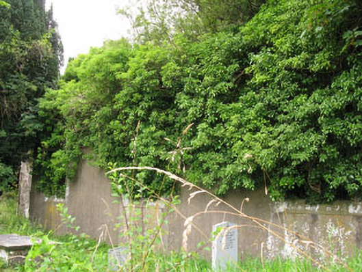
Approached by laneway from N, on SE side of Crookstown village; rectangular graveyard (c. 65m E-W; c. 50m N-S) enclosed by poorly preserved stone wall. In occasional use. At centre are ruins of Moviddy C of I parish church (CO083-075004-). Earliest noted headstone dated 1764; roofless mausoleum to E of church contains classical wall plaque dated 1719 (Anon. 1898-1900, 10-11); there are other family vaults in E section of graveyard and some chest tombs. The 1842 OS 6-inch map shows dotted circle labelled 'site of Old Building' (CO083-075002-) immediately N of graveyard; no visible surface trace. Glebe house (CO083-076----) c. 300m to ENE.
The above description is derived from the published 'Archaeological Inventory of County Cork. Volume 3: Mid Cork' (Dublin: Stationery Office, 1997). In certain instances the entries have been revised and updated in the light of recent research.
Date of upload/revision: 14 January 2009
The monument record does not grant public access. Check the route and ask the landowner before entering private land.
- What survives
- Recorded monument
Places near here
 St Helen's Church of Ireland Churchchurch/chapel · 1 yd
 St Helens ChurchChurch · 18 yd
 site of Old BuildingBuilding · 43 yd
 Clodah CastleCastle · 1020 yd
 Fulacht FianFulacht fia · 1056 yd
 Castlemore CastleCastle · 1.1 mi
 Pedunculate OakPedunculate Oak · 1.8 mi
 Michael Collins MemorialMemorial · 2.3 mi
 Independence MuseumMuseum · 2.4 mi
 Kilmurry WoodsPicnic place · 2.7 mi
 Priest MemorialMemorial · 2.8 mi
 Andrew's WoodWood · 2.9 mi