What is recorded here
Situated on a NE-facing slope of a NE-SW ridge. The church (WX031-038001-) is within a slightly raised rectangular grass and scrub-covered area (dims. 41m N-S; 20m E-W) defined by a low earthen bank with an external stone-facing at N (Wth 4.5m; int. H 0.5m; ext. H 0.7m) and E and field banks (Wth c. 1.5m; H 1m) at S and W. There is an entrance (Wth 3m) at E, but there is no evidence of burial. The Church Well, (WX031-038003-) is c. 40m to the ESE.
Compiled by: Michael Moore
Date of upload: 27 August, 2012
The monument record does not grant public access. Check the route and ask the landowner before entering private land.
- What survives
- Recorded monument
Places near here
 Structure in BarmoneyStructure · 18 yd
 Church WellHoly well · 62 yd
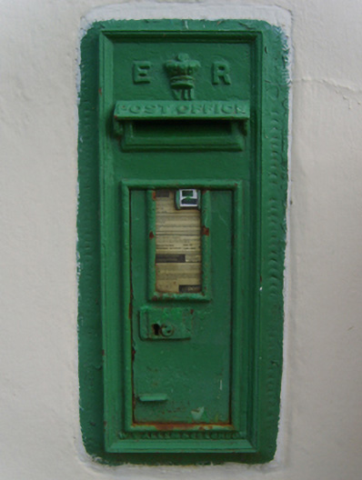 post boxpost box · 1755 yd
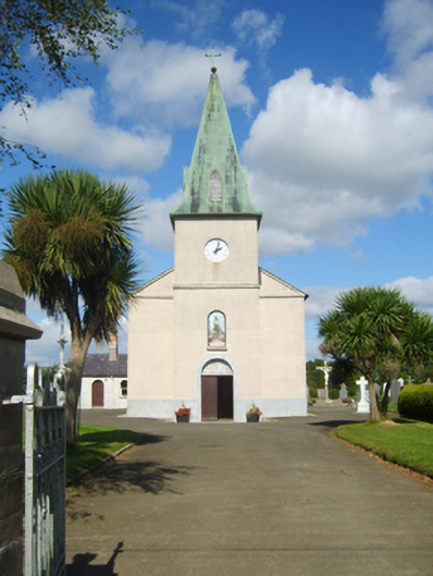 Catholic Church of Saint John the Baptistchurch/chapel · 1.0 mi
 (Site of) Doonoonen CastleCastle, motte · 1.5 mi
 Raheennahoon HillMountain / peak · 2.0 mi
 Camaross HillMountain / peak · 2.1 mi
 (Site of) CastleCastle, unclassified · 2.9 mi
 Glenour MonumentMemorial · 3.0 mi
 Celebrating 125 YearsMemorial · 3.6 mi
 King's IslandIsland · 4.7 mi
 Battle Of The Three RocksMemorial · 5.7 mi