What is recorded here
The graveyard is depicted faintly as a circular enclosure (diam. c. 50m) on the 1839 ed. of the OS 6-inch map. It is situated at the crest of the E-facing slope of a low ridge. There are no visible remains of a church (WX022-013001-), enclosure or of burial at ground level in pasture. The holy well (WX022-014----) is c. 100m to the E.
Compiled by: Michael Moore
Date of upload: 18 June, 2012
This remains an important historical record, but the official description says the monument is no longer visible or has been destroyed. The monument record does not grant public access. Check the route and ask the landowner before entering private land.
- What survives
- No visible remains or recorded as destroyed
Places near here
 Site of ChurchChurch · 1 yd
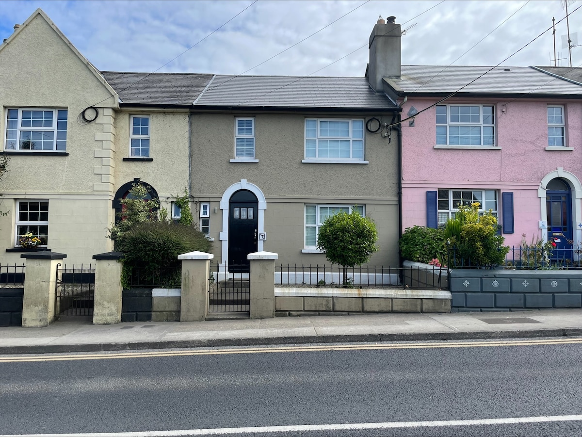 Habitation site in Upton (ballaghkeen By.)Habitation site · 80 yd
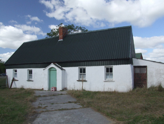 farm housefarm house · 561 yd
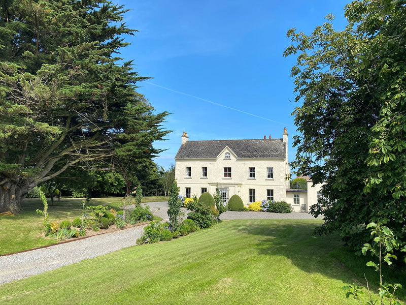 Litterbeg Housefarm house · 1218 yd
 Site of Morris CastleCastle, unclassified · 1346 yd
 Castle Anneslwy (in ruins)Bawn · 1741 yd
 Morriscastle BeachBeach / strand · 1.6 mi
 The Cahore Polders and DunesNature reserve · 2.5 mi
 Shrule Deer FarmHeritage attraction · 2.6 mi
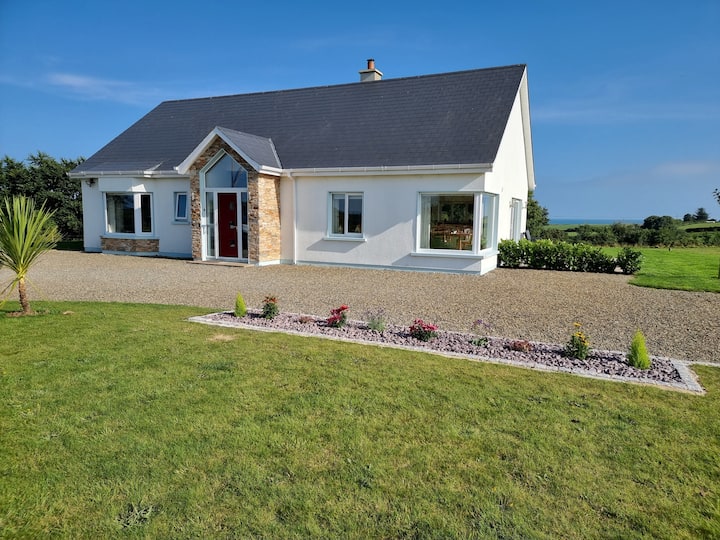 Tinnaberna BeachBeach / strand · 2.8 mi
 Bird BoxesVisitor information · 2.8 mi
 Birds of PreyVisitor information · 2.8 mi