What is recorded here
In undulating terrain, on a natural rise augmented by the graveyard, surrounded by pasture. The Church (TS078-053----) is roughly centrally placed an irregularly shaped graveyard (dims. 57m NE-SW; 58m NW-SE). There are a number of early 17th-century graveslabs (TS078-053002-, TS078-053003-, TS078-053004-, TS078-053005-, TS078-053006-, TS078-053007-) including fragments, within the church, as well as a 17th-century chest tomb (TS078-053008-). Later headstones are concentrated on the S side of the graveyard. In general the headstones date mainly to the 18th and 19th century, with some dating to the 20th century. The entrance is in the NW corner of the graveyard, it consists of an iron gate between two stone pillars. Immediately to the W of this gate there are steps internally and externally up to a stile. There is a concrete wall along the S side, with the remains of a stone wall at the base, visible at the E end. At the E end the stonewall has cement capping. On the N side is an earthen bank surmounted by a hedgerow. The ground level rises slightly to meet W wall which has been built of stone, the entrance steps are cut into this wall in the SW angle.
Compiled by: Jean Farrelly
Date of upload: 26 August 2011
The monument record does not grant public access. Check the route and ask the landowner before entering private land.
- What survives
- Recorded monument
Places near here
 Kilmurry Church (in ruins)Church · 7 yd
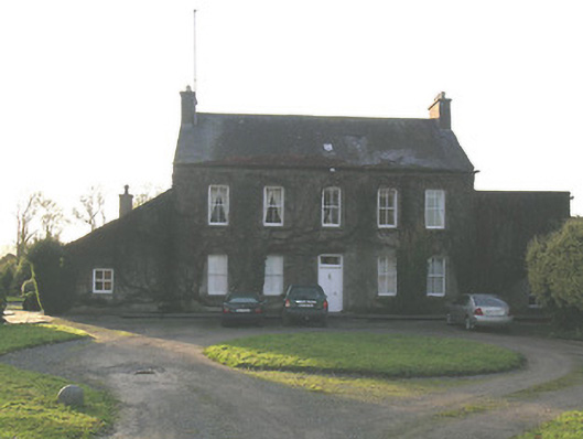 Ballycurkeen Househouse · 628 yd
 Thomas KielyMemorial · 697 yd
 Enclosure in MullaghEnclosure · 1266 yd
 Man-made underground passage in Ballinderry (carrick Par.)Man-made underground passage · 1567 yd
 Castle (in ruins)Castle, tower house · 1.1 mi
 Maurice DavinMemorial · 1.8 mi
 Ballydine Ho.Castle, unclassified · 1.8 mi
 Coolnamuck Wood WestForest · 1.9 mi
 Churchtown WoodForest · 2.0 mi
 Curraghdobbin HillMountain / peak · 2.6 mi
 Carrigaloe RockNamed rock · 3.2 mi