What is recorded here
On a S-facing slope on the E edge of Ballymore Eustace, a historic town (KD029-011001-). A roughly square area (max. c. 82m E-W; c. 80m N-S) is enclosed by a well-built stone wall with a gate and stile in the NW corner and a gate in the SE corner. Mature beech and yew trees grow throughout. It’s likely to have been a significant pre-Norman ecclesiastical site because the graveyard also contains two high crosses (KD029-011006- and KD029-011007-), two cross-inscribed slabs (KD029-011008-, KD029-011009-) and seven graveslabs (KD029-011014- to KD029-011020-). There is also a medieval font (KD029-011013-), a holed stone (KD029-011012-) and the fragmentary remains of a medieval church (KD029-011002-) to the rear of an upstanding 19th-century church, which itself contains a second medieval font (KD029-011013-) and a 16th-century knightly effigy (KD029-011011-). Burials from the 18th-century to recent times are marked by chest tombs, table tombs and headstones, many of which are leaning and some of which are broken.
Compiled by: Gearóid Conroy
Date of upload: 30 August 2013
The monument record does not grant public access. Check the route and ask the landowner before entering private land.
- What survives
- Recorded monument
Places near here
 Saint John's Church (Ballymore Eustace)church/chapel · 10 yd
 Font in Ballymore Eustace East (ballymore Eustace Ed)Font · 18 yd
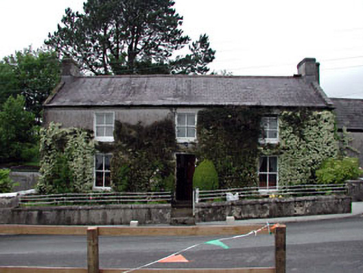 Ivy Househouse · 222 yd
 Enclosure in Ballymore Eustace WestEnclosure · 1327 yd
 English hollyEnglish holly · 1.4 mi
 National Bird of Prey CentreHeritage attraction · 1.6 mi
 Artisans WorkshopsHeritage attraction · 1.6 mi
 The MoatCastle, motte and bailey · 2.1 mi
 Castle in ruinsCastle, unclassified · 2.5 mi
 Sillagh Bog WoodForest · 2.5 mi
 Saint Kevin's CaveMemorial · 3.0 mi
 Councillor Jim MileyMemorial · 3.8 mi