What is recorded here
In grassland. This overgrown subrectangular graveyard (c. 50m E-W; c. 40m N-S) is enclosed by a stone wall capped with concrete. The earliest inscribed headstone noted dates to 1791; most of the others are of 19th and 20th-century date, though some older uninscribed grave-markers are also visible. Within an area bounded by trees in the NW section, a number of flat table tombs are visible. Several family plots are enclosed by iron railings. The graveyard is still in use. A church (GA073-016001-) is associated.
Compiled by: Olive Alcock
Date of upload: 23 November 2020
The monument record does not grant public access. Check the route and ask the landowner before entering private land.
- What survives
- Recorded monument
Places near here
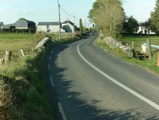 Ballymacward Bridgebridge · 323 yd
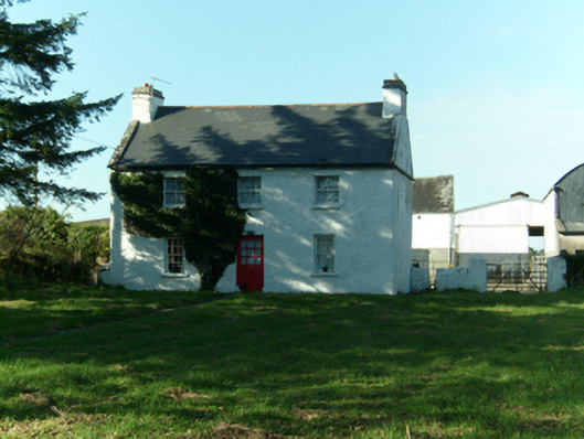 Church Viewhouse · 393 yd
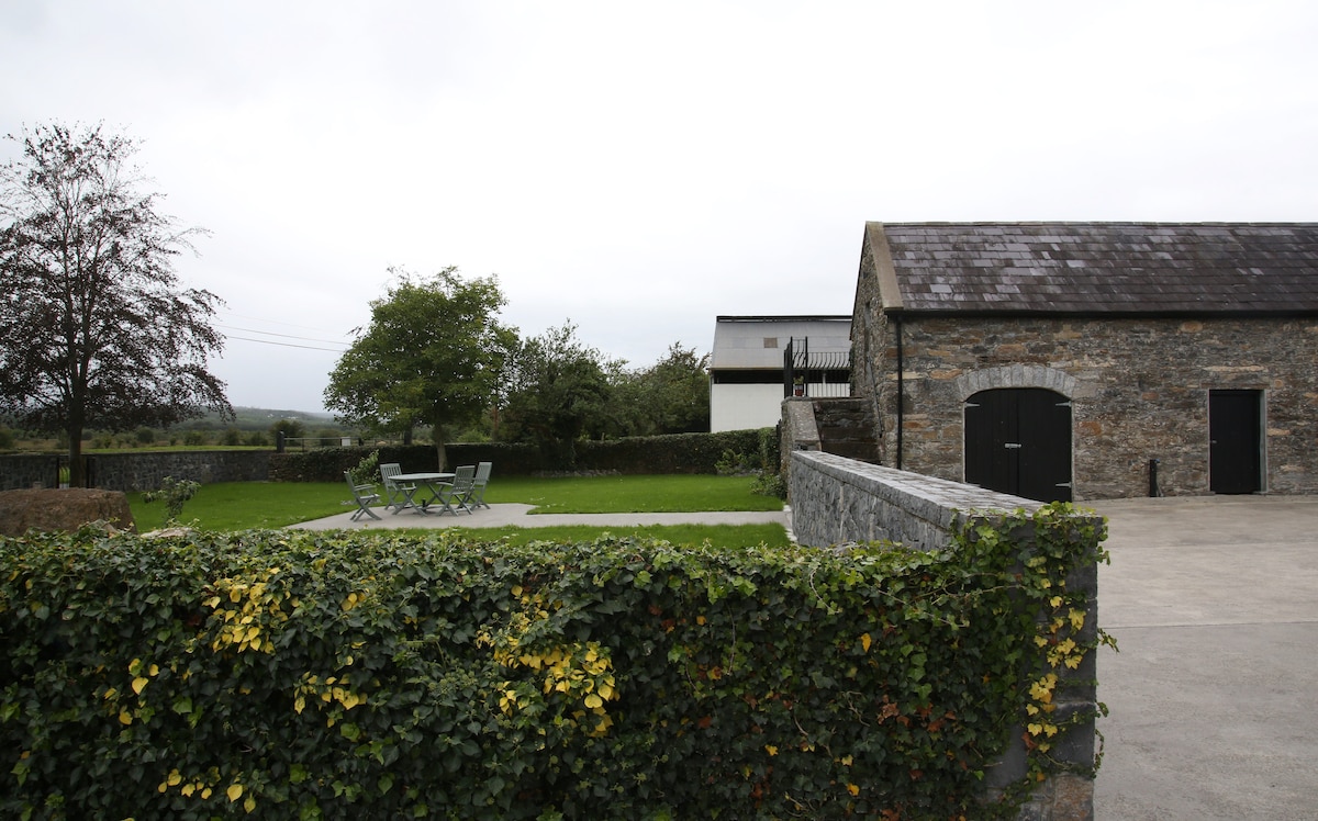 Enclosure in Alloon Lower,lisgub WestEnclosure · 1.1 mi
 Enclosure in Annagh (kilconnell By.)Enclosure · 1.2 mi
 Castle (in Ruins)Castle, unclassified · 2.9 mi
 European Crab AppleEuropean Crab Apple · 3.3 mi
 Western RedcedarWestern Redcedar · 3.3 mi
 Site of Doon CastleCastle, unclassified · 3.3 mi
 Kilconnell AbbeyHeritage attraction · 4.6 mi
 Menlough IRAMemorial · 4.8 mi
 Battle of Aughrim Interpretative CentreMuseum · 8.5 mi
 Battle of AughrimMajor battlefield · 9.0 mi