What is recorded here
In pastureland in a hollow in the corner of a field. Marked on the OS 6inch maps as an unenclosed rectangular area (c. 18m NNW-SSE; c. 12m ENE-WSW). On inspection the burial ground was completely overgrown with briars and thorn bushes but no grave-markers could be discerned. The landowner was aware that it was known as a children's burial ground.
Compiled by: Galway Archaeological Survey, UCG
Date of upload: 28 August 2019
The monument record does not grant public access. Check the route and ask the landowner before entering private land.
- What survives
- Recorded monument
Places near here
 Site of CastleCastle, unclassified · 371 yd
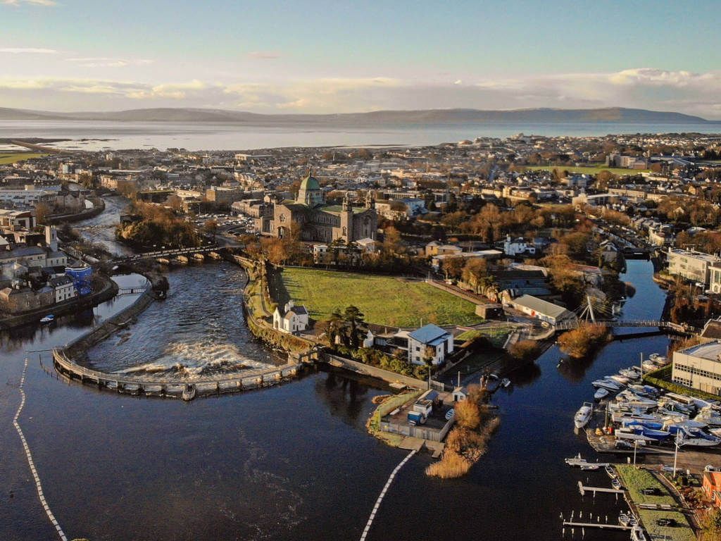 IndicatedFairy fort / stone ringfort · 386 yd
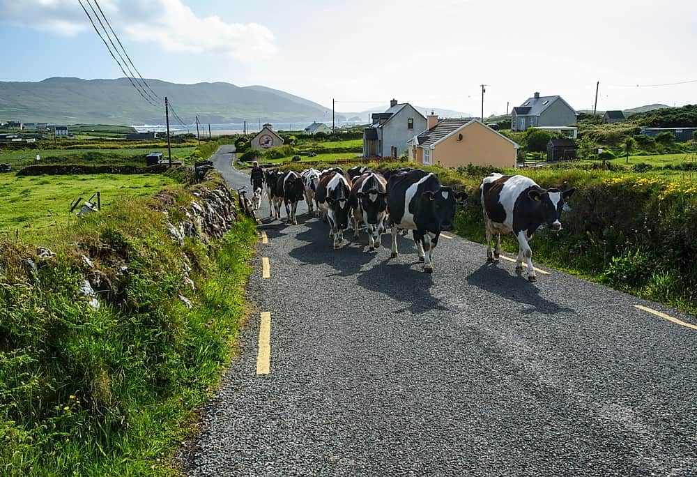 Fulacht fia in BallycoonyFulacht fia · 434 yd
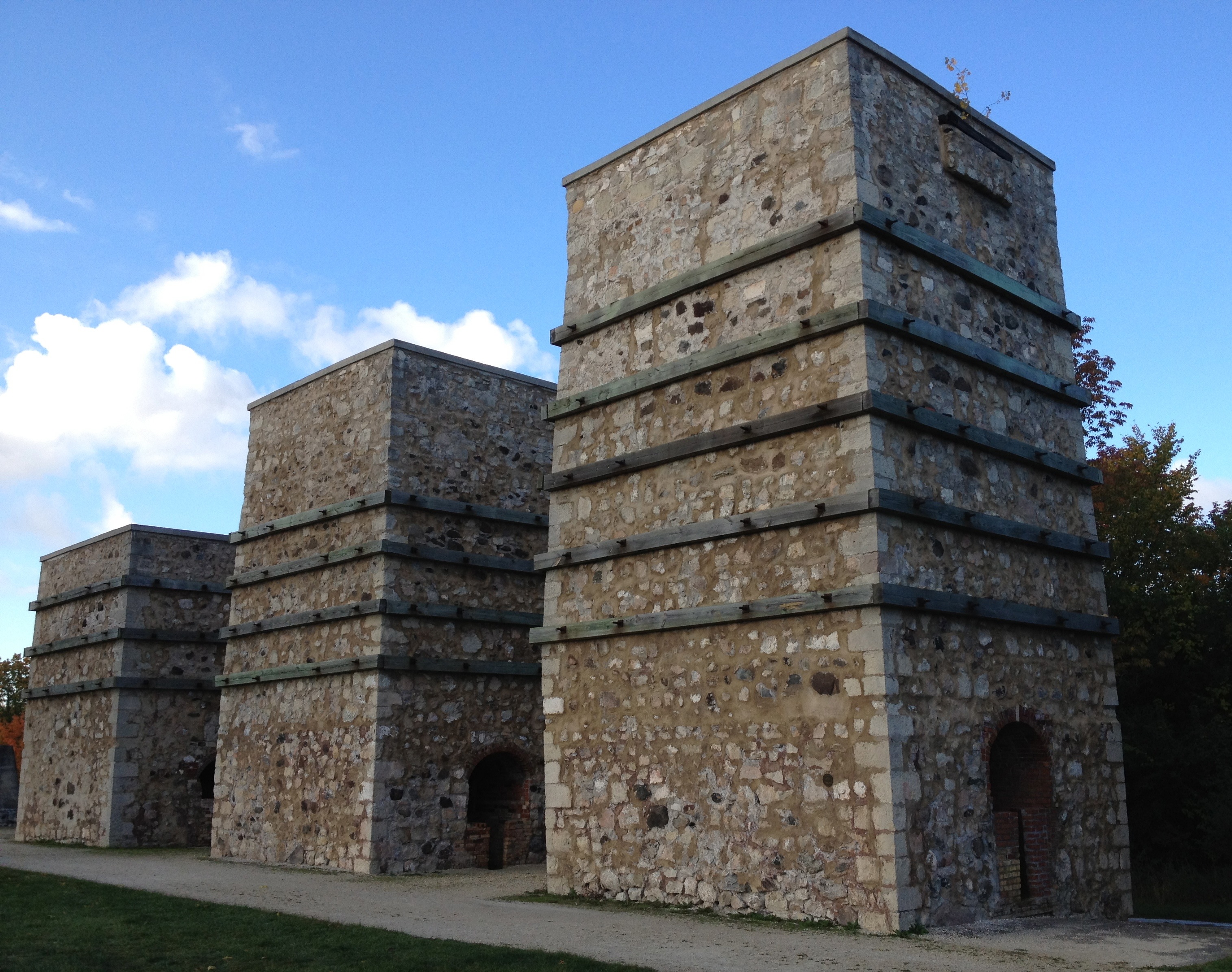 KilnKiln, lime · 1572 yd
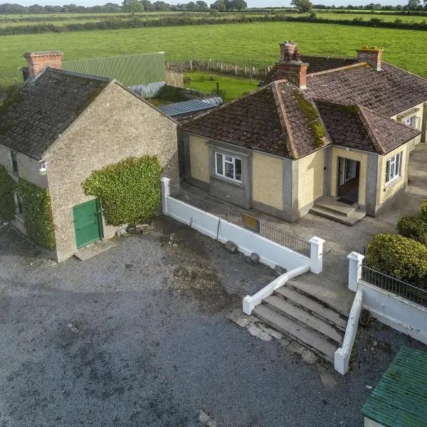 Ballingarry Ho.Country house · 1.1 mi
 CastleCastle, tower house · 1.5 mi
 Ash IslandIslet · 1.7 mi
 Blake's IslandIslet · 2.2 mi
 Long PointHeadland · 2.5 mi
 Scalpeen RockNamed rock · 3.0 mi
 KnockapollboyMountain / peak · 4.4 mi
 Derrybrien Bog SlideHeritage attraction · 5.5 mi