What is recorded here
Situated on a low ridge, in a low-lying position on a S-facing slope. The church (RO027-048005-) is in a rectangular graveyard (dims 54m N-S; c. 51m E-W) defined by masonry walls and with a curved perimeter at SW, which has been extended to the W.
Compiled by: Michael Moore
Date of upload: 24 August 2010
The monument record does not grant public access. Check the route and ask the landowner before entering private land.
- What survives
- Recorded monument
Places near here
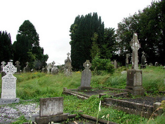 graveyard/cemeterygraveyard/cemetery · 2 yd
 IndicatedChurch · 27 yd
 Ritual siteRitual site, holy tree/bush · 44 yd
 Remains of Stone CrossCross, Market cross · 127 yd
 CastleCastle, Anglo-Norman masonry castle · 298 yd
 Silver IslandIslet · 3.7 mi
 Workhouse MemorialMemorial · 4.0 mi
 HawthornHawthorn · 4.4 mi
 Castlereagh HouseCastle, unclassified · 4.5 mi
 Site of Killomaine Grave YardArchaeological place · 4.8 mi
 Clonalis HouseMuseum · 5.9 mi
 European ashEuropean ash · 8.7 mi