What is recorded here
The parish church ruins of Currans (KE048-007----) stands in the townland of Ardcrone (An tArd Crón), in the parish of Currans, diocese of Ardfert, barony of Trughanacmy (Triúcha an Aicme). The 18th century church ruins stands in the N quadrant of a roughly square-shaped graveyard (dims. 43m N-Sx 49m E-W) enclosed by a post-1700 stone wall with entrance at N corner of E wall. In 1986 the Castleisland District Archaeological Survey described the ruins of Currans Church built in 1740 which consisted of a rectangular structure built rubble stone and roughly worked quoins aligned NE-SW standing in NE quadrant of graveyard (KE048-007001-) (SMR File).
See attached plan of church and graveyard taken from Jacobsen 2009
Compiled by: Caimin O'Brien
Date of upload: 25 May 2022
The monument record does not grant public access. Check the route and ask the landowner before entering private land.
- What survives
- Recorded monument
Places near here
 Enclosure in ArdcroneEnclosure · 135 yd
 Enclosure in Crag (trughanacmy By., Currans Ed)Enclosure · 500 yd
 Site of Currans CastleCastle, unclassified · 1005 yd
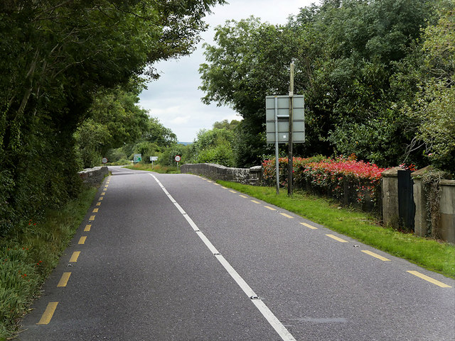 O'Connell Bridgebridge · 1255 yd
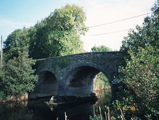 Maine Bridgebridge · 1.2 mi
 Site of CourtCastle, unclassified · 2.3 mi
 Ballygamboon Forest Recreation AreaWood · 5.6 mi
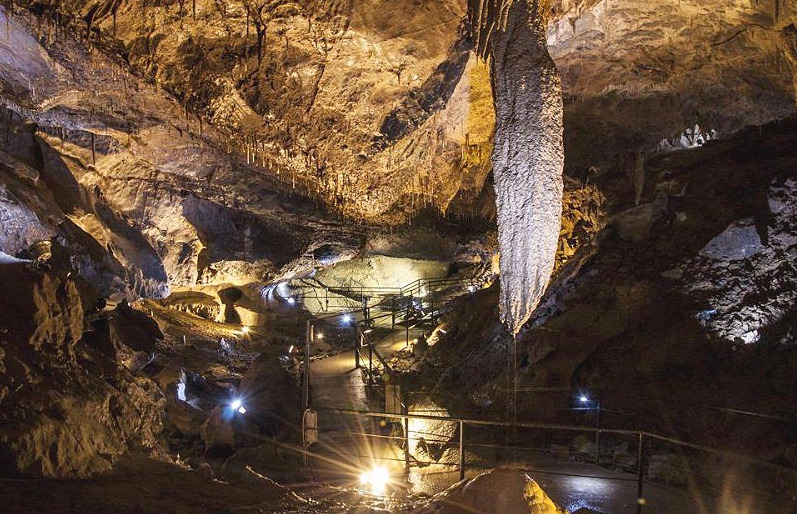
 Crag CaveCave · 5.7 mi
 Common AlderCommon Alder · 6.0 mi
 Aghadoe Early Medieval Ecclesiastical SiteHeritage attraction · 8.0 mi
 Famine MemorialMemorial · 8.7 mi
 CruslineMountain / peak · 8.8 mi