What is recorded here
Towards the N end of a low ridge (Carrigan 1905, vol. 3, 373), in tillage. A medieval church (KK024-077001-) is centrally placed within this small roughly rectangular graveyard (dims. c. 40m N-S; c. 22-25m E-W). Annamult Castle (KK023-084001-) is located c. 450m to the NW and a medieval barn (KK023-022----) lies c. 380m to the WNW.
The OS Letters (1839) describe 'a small burying ground’ attached to the church (O’Flanagan 1930, vol. 1, 272-3 (92)).
Compiled by: Jean Farrelly
Date of upload: 6 October 2021
Medieval Christian graveyard, associated with a medieval church; significant as a religious and burial site from the medieval period.
The monument record does not grant public access. Check the route and ask the landowner before entering private land.
- What survives
- Recorded monument
Places near here
 Church (in ruins)Church · 7 yd
 Annamult Castle (in ruins)Castle, tower house · 501 yd
 Tower (in ruins)Bawn · 535 yd
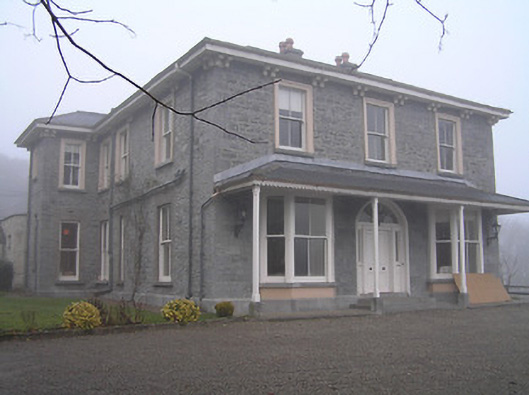 Crohana Housecountry house · 682 yd
 Enclosure in AnnamultEnclosure · 1031 yd
 IndicatedEnclosure · 1094 yd
 MarlowWood · 1357 yd
 Welsh'sForest · 1437 yd
 Kilbline GraveyardArchaeological place · 1.9 mi
 Time CapsuleMemorial · 2.0 mi
 Tullaherin Church and Round TowerVisitor information · 3.0 mi
 Kells Augustinian PrioryHeritage attraction · 3.5 mi