What is recorded here
In pasture on top of a hill with good views of undulating countryside. Remains of a long narrow rectangular church (OF032-005001-) with gable surviving to full height and partial remains of E and S walls with N wall surviving 3m high. Located in the centre of a large irregular shaped graveyard enclosed by a stone wall. There are several 18th-century headstones along with unmarked gravestones probably of an earlier date. Two portions of a rotary quern stone were found along the external face of the S wall. Probable late medieval church with two storey priest accommodation at W end.
Compiled by: Caimin O'Brien.
Date of upload: 23 May 2011
A 19th-century churchyard associated with a surviving ecclesiastical structure; significance as a local place of burial and religious history.
The monument record does not grant public access. Check the route and ask the landowner before entering private land.
- What survives
- Recorded monument
Places near here
 Church (in Ruins), Grave YardChurch · 9 yd
 CairnCairn, wayside cairn · 229 yd
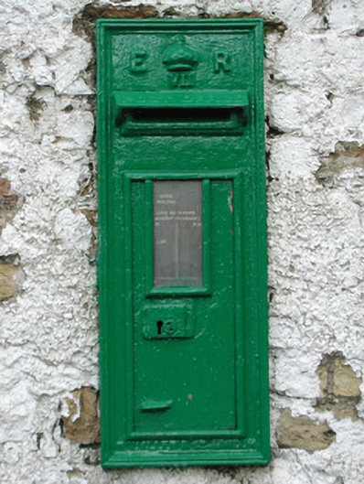 post boxpost box · 879 yd
 Enclosure in RathrobinEnclosure · 1426 yd
 Rathrobiin Castle in RuinsCastle, unclassified · 1.2 mi
 Castle Cuffe (ruins)Castle · 2.2 mi
 Kilmanman church (in Ruins), GraveyardChurch · 2.5 mi
 Lowerton HillMountain / peak · 2.9 mi
 Mullagh HillMountain / peak · 2.9 mi
 Church (in Ruins), Graveyard, CarrigeenChurch · 3.1 mi
 Mahon's WoodWood · 3.5 mi
 Ross WoodWood · 3.7 mi