What is recorded here
Located towards the bottom of a S-facing slope. The site of the medieval parish church of Agher (ME048-009----) is within a D-shaped graveyard (dims c. 65m E-W; c. 48m N-S), which is defined by an earthen bank or scarp NW-SE and by masonry walls on the straight S and W sides. According to Dopping (1682-5) the graveyard was enclosed (Ellison 1972, 4). Headstones in the graveyard date from c. 1735 to the present but a slate graveslab dated 1771 and now in the graveyard includes the phrase ‘beneath this floor’ and would have come from the medieval church which was replaced by the present Church of Ireland church in 1804 (Lewis 1837, 1, 18).
Compiled by: Michael Moore
Date of upload: 9 April, 2015
The monument record does not grant public access. Check the route and ask the landowner before entering private land.
- What survives
- Recorded monument
Places near here
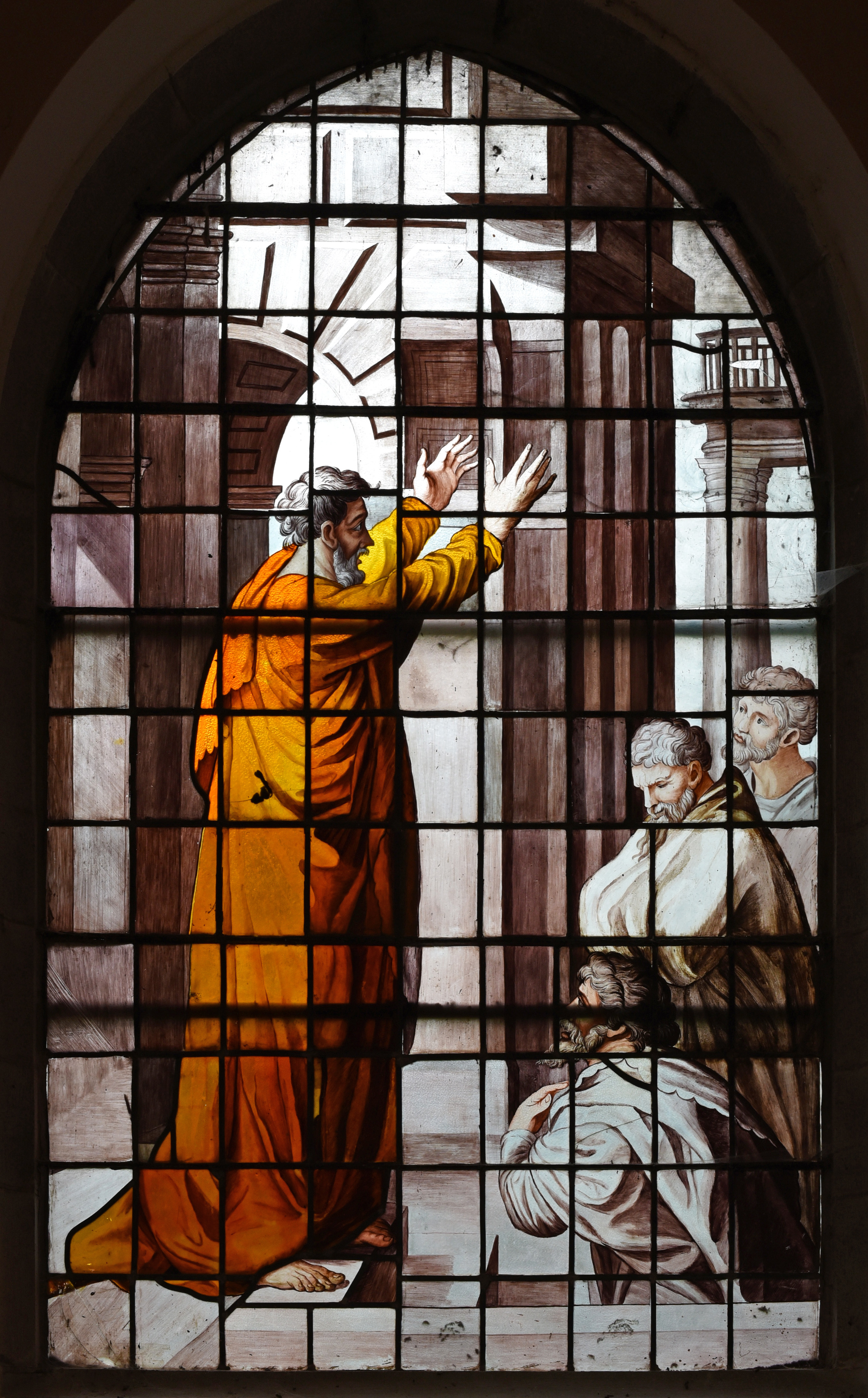 Church in Agher (deece Upper By., Agher Par.)Church · 12 yd
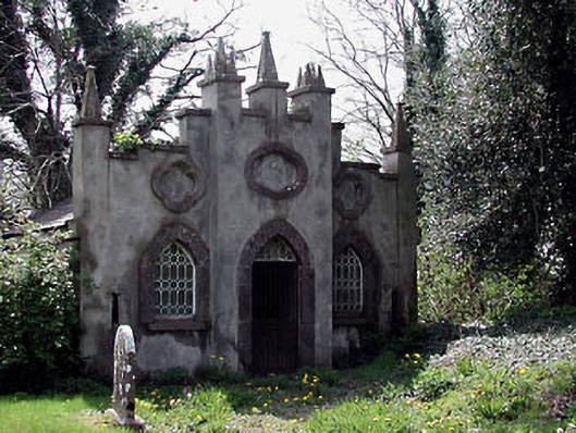 Agher Churchmausoleum · 34 yd
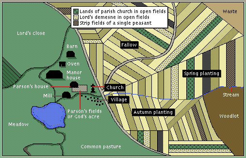 Field system in Agher (deece Upper By., Agher Par.)Field system · 316 yd
 Settlement desertedSettlement deserted, medieval · 436 yd
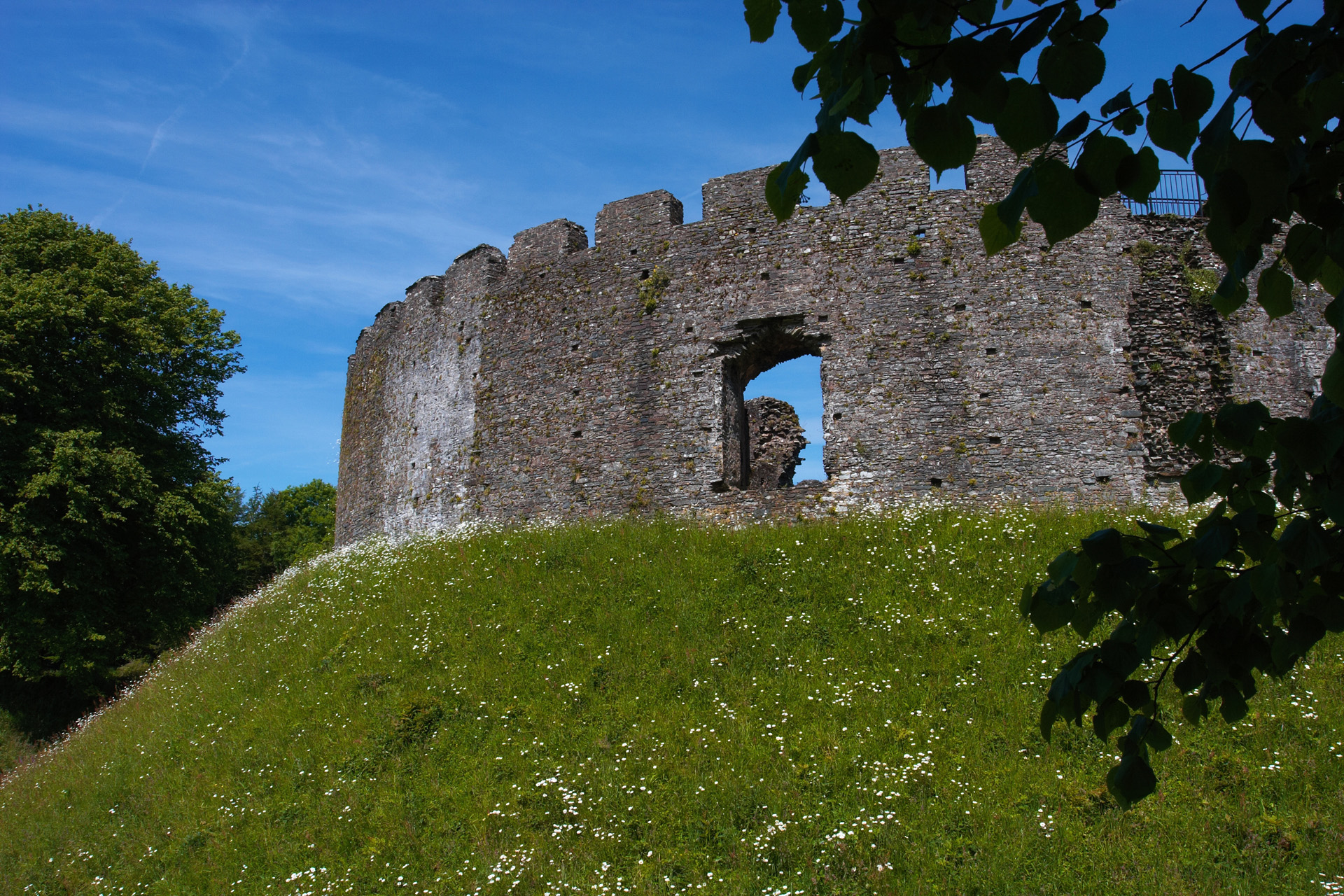 CastleCastle, motte and bailey · 541 yd
 European ashEuropean ash · 2.0 mi
 Old Bog Road made famous by Teresa Bryton 1868-1943Memorial · 2.3 mi
 Kilgar GardensHeritage attraction · 2.5 mi
 Wych ElmWych Elm · 2.7 mi
 Cloncurry MoatCastle, motte · 3.0 mi
 Cloncurry GraveyardHeritage attraction · 3.0 mi
 MullaghMountain / peak · 5.0 mi