What is recorded here
Near the crest of a small hill in rough pastureland. Indicated on OS 6-inch maps at a right-angled corner of a field boundary. No visible surface trace survives. A holy well (GA022-056---- ) lies c. 40m to NW.
The above description is derived from the published 'Archaeological Inventory of County Galway Vol. I - West Galway'. Compiled by Paul Gosling (Dublin: Stationery Office, 1993).
Date of upload: 05 August 2010
The monument record does not grant public access. Check the route and ask the landowner before entering private land.
- What survives
- Recorded monument
Places near here
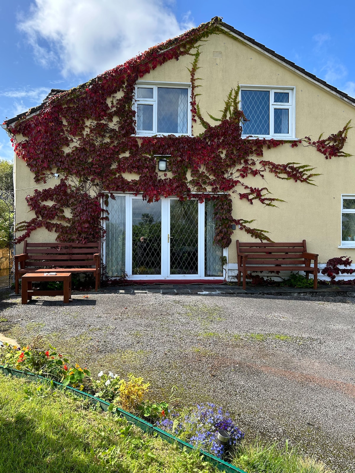 ToberdavinHoly well · 46 yd
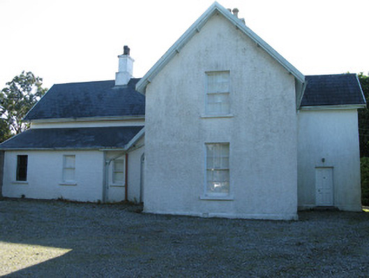 The Rectoryrectory/glebe/vicarage/curate's house · 1022 yd
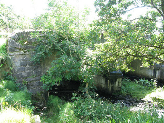 Traheen Bridgebridge · 1087 yd
 Enclosure in RoscreaEnclosure · 1129 yd
 RoeillaunIslet · 1.9 mi
 DerrylahanMountain / peak · 2.1 mi
 Connemara National Park Visitor CentreHeritage attraction · 2.1 mi
 Connemara National ParkNational park · 2.1 mi
 Tully MountainMountain / peak · 3.2 mi
 GlassillaunIslet · 3.6 mi
 Cabbage treeCabbage tree · 3.8 mi
 Abbeyglen Castle HotelCastle · 3.8 mi