What is recorded here
Ballykine Lower holds a grave whose age and owner have slipped from memory. The stone or soil may have marked a child, a traveller, or a family whose name faded before writing reached the field. What remains certain is that someone died there, was remembered enough to be set apart, and was later released into the ordinary uncertainty of time.
The official Northern Ireland record identifies this as GRAVE. Recorded period: UNCERTAIN. The official map point was placed at the centre of the recorded archaeological site from the source map reference.
The monument record does not grant public access. Check the route and ask the landowner before entering private land.
- What survives
- Recorded monument
Places near here
 ENCLOSURE in BallycreenENCLOSURE · 717 yd
 ENCLOSURE? in BallymurphyENCLOSURE? · 1106 yd
 Battle of Ballynahinchbattle · 1.6 mi
 Lisburn Street North Car ParkVisitor information · 1.7 mi
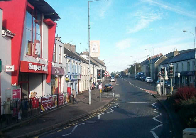 Lisburn Street South Car ParkVisitor information · 1.8 mi
 First Presbyterian ChurchChurch · 1.9 mi
 Windmill HillMountain / peak · 2.1 mi
 Windmill Hill WoodWood · 2.2 mi
 Corn MillMill · 2.5 mi
 Harry Ferguson Memorial GardenMonument · 4.1 mi
 Glen LoaninWalking route · 4.1 mi
 Darby's LoaninWalking route · 4.2 mi