What is recorded here
In a broad valley near W end of an isolated terrace of cragland, 1.6km S of Knockroe Hill. The monument, extant in 1960, has since been destroyed and no visible surface trace survives. It consisted of a long narrow gallery (L 8.2m, Wth 1.9m at W, narrowing to 1m at E), aligned roughly E-W. Five displaced slabs lay along it; these may have been fragments of the roof. The N side was represented by five orthostats and S side by seven; a backstone was in position at E end. Two outer wall-stones were exposed on N side and two on S side. The tomb was incorporated in a subrectangular mound (L 13, Wth < 8m). (de Valera and Ó Nualláin 1972, 12-13; 6 Nualláin 1989, 137)
The above description is derived from the published 'Archaeological Inventory of County Galway Vol. II - North Galway'. Compiled by Olive Alcock, Kathy de hÓra and Paul Gosling (Dublin: Stationery Office, 1999).
Date of upload: 05 August 2010
See linked document with details from Ruaidhrí de Valera and Seán Ó Nualláin, Survey of the Megalithic Tombs of Ireland. Volume III. Counties Galway, Roscommon, Leitrim, Longford, Westmeath, Laoighis, Offaly, Kildare, Cavan. (Dublin: Stationery Office, 1972).
Neolithic long cairn; dates to the earlier part of the Neolithic period in Ireland (c. 4000–3000 BCE). Its location and form suggest it was part of a regional funerary tradition associated with collective burial practices and early agricultural settlement.
The monument record does not grant public access. Check the route and ask the landowner before entering private land.
- What survives
- Recorded monument
Places near here
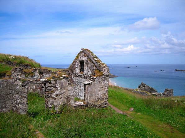 Settlement desertedSettlement deserted, medieval · 577 yd
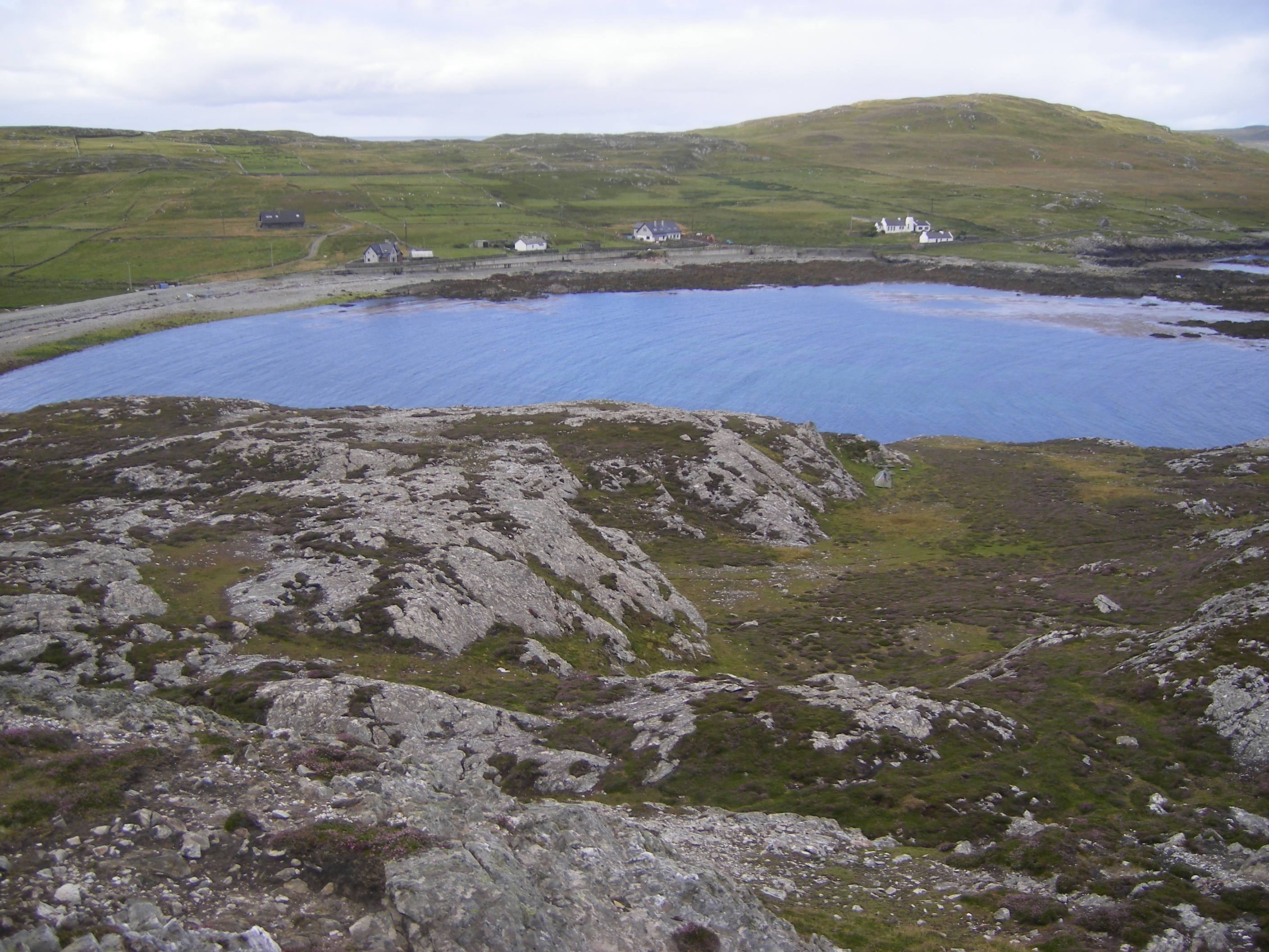 IndicatedFairy fort / ringfort · 990 yd
 CashlaundarraghCastle · 1566 yd
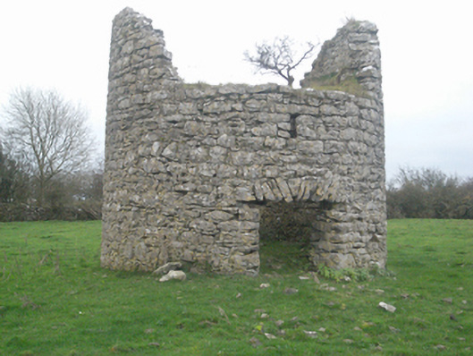 mill (wind)mill (wind) · 1.5 mi
 Castle FrenchCastle, unclassified · 1.6 mi
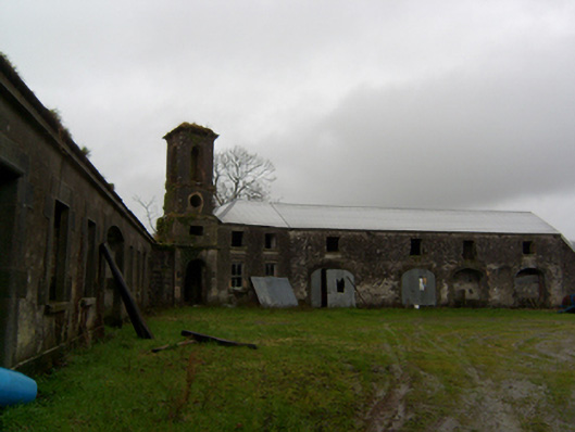 Ryehilloutbuilding · 1.7 mi
 SycamoreSycamore · 1.8 mi
 Common WhitebeamCommon Whitebeam · 1.8 mi
 Knockmoy AbbeyHeritage attraction · 2.4 mi
 Menlough IRAMemorial · 6.9 mi
 Mass RockNamed rock · 12 mi
 Tober PatrickHoly well · 1259 yd