What is recorded here
Scotland's National Record of the Historic Environment records Graphic as Obstruction (period Unassigned)-(1923)(possible). The official map says its point is accurate as follows: NGR given to the nearest 1m. The record does not by itself mean that the public may enter the place.
The *Graphic* was a steamship that sank in 1923 near the Isle of Cumbra, Scotland, after colliding with the collier *Clydebank*. The wreck resulted in no loss of life but carried a cargo of coal; its significance lies in being an early example of maritime traffic density in the Firth of Clyde.
The historic-place record does not grant public access. Check current conditions and ownership before entering land or a building.
Places near here
 In grateful memory of the men of Holywood and DistrictMemorial · 1.3 mi
 McCammon Memorial Masonic HallHall · 1.3 mi
 First Holywood Non-Subscribing Presbyterian ChurchChurch · 1.4 mi
 Window on WildlifeVisitor information · 1.5 mi
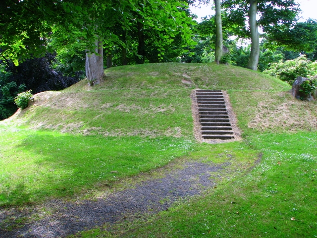 HOLYWOOD MOTTE in Ballykeel (holywood)HOLYWOOD MOTTE · 1.5 mi
 Seapark BeachBeach / strand · 1.7 mi
 THE WHITEHOUSETHE WHITEHOUSE, 17th century BAWN · 1.7 mi
 Stephen BoydMemorial · 1.8 mi
 ENCLOSURE (destroyed) in Ballycultra; HolywoodENCLOSURE (destroyed) · 1.8 mi
 Glenlyon ParkWood · 2.1 mi
 Redburn Country ParkWood · 2.1 mi
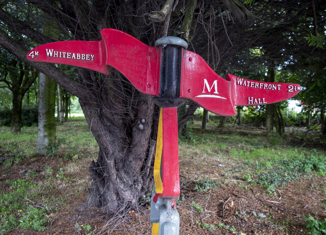 Millennium MilepostVisitor information · 2.7 mi