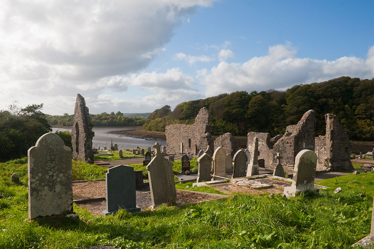
What is recorded here
Yes. That is the shape of the claim. The facts must still remove every saved chamber, hidden room and changed chamber while keeping the named site, place and unfinished state visible.
Internal diam. c. 21m. A circular area enclosed by drystone wall 1.8m wide and up to 1.7m high. A 4m wide gap on the NW might indicate the original entrance. A number of field boundaries radiate from the site. The site is located on a slight rise in otherwise flat pasture with some rock outcrop.
The above description was derived from the 'Archaeological Survey of County Donegal. A description of the field antiquities of the County from the Mesolithic Period to the 17th century.' Compiled by: Brian Lacey with Eamon Cody, Claire Cotter, Judy Cuppage, Noel Dunne, Vincent Hurley, Celie O'Rahilly, Paul Walsh and Seán Ó Nualláin (Lifford: Donegal County Council, 1983). In certain instances the entries have been revised and updated.
Date of upload: 22 September 2008
The monument record does not grant public access. Check the route and ask the landowner before entering private land.
- What survives
- Recorded monument
Places near here
 Gortnatraw South Fairy FortFairy fort / earthen ringfort · 271 yd
 Gortnatraw South Stone RingfortFairy fort / stone ringfort · 422 yd
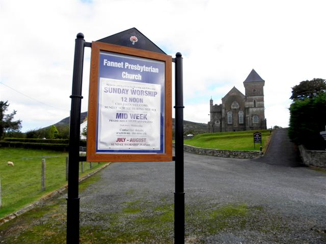 Fannet Presbyterian Churchchurch/chapel · 474 yd
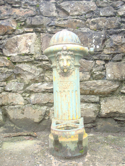 water pumpwater pump · 643 yd
 Cranberry IslandIslet · 1.3 mi
 Rough IslandIslet · 1.7 mi
 WoodquarterForest recreation place · 2.1 mi
 Ballymastocker StrandViewpoint · 3.9 mi
 Wild Atlantic Way:Ballymastocker StrandVisitor information · 4.0 mi
 PortsalonOfficial bathing water · 4.0 mi
 Croaghan HillMountain / peak · 4.0 mi
 Moross CastleCastle, tower house · 4.2 mi
Other information
Photo: Credit not shown in the picture search · Rights wording not checked; contact us if this picture should be removed