What is recorded here
Gobnets Fort is a level earthen ringfort in County Limerick, Ireland, marked by a two-metre scarped edge and worn paths cut by cattle. It stands in open pasture, partly hidden by bushes and trees, yet its circular shape remains clear enough to walk around without thought. The fort has no gate, tower or visible chamber, but its steady boundary suggests people once drew a line between inside and outside, belonging and loss.
In level pasture. Roughly circular area (34.8m N-S; 34.2m E-W) defined by scarped edge (H 2m; Wth 3m); scarp is lined with trees and overgrown by bushes NW->N. Scarp has been worn down at numerous places by cattle accessing interior. Level interior under pasture.
Compiled by: Denis Power
Date of upload: 26 August 2011
The monument record does not grant public access. Check the route and ask the landowner before entering private land.
- What survives
- Recorded monument
Places near here
 Gobnet's FortArchaeological place · 3 yd
 Saint Derivla's WellSpring · 418 yd
 presbytery/parochial/curate's housepresbytery/parochial/curate's house · 496 yd
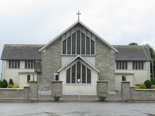 Saint Michael's Catholic Churchchurch/chapel · 551 yd
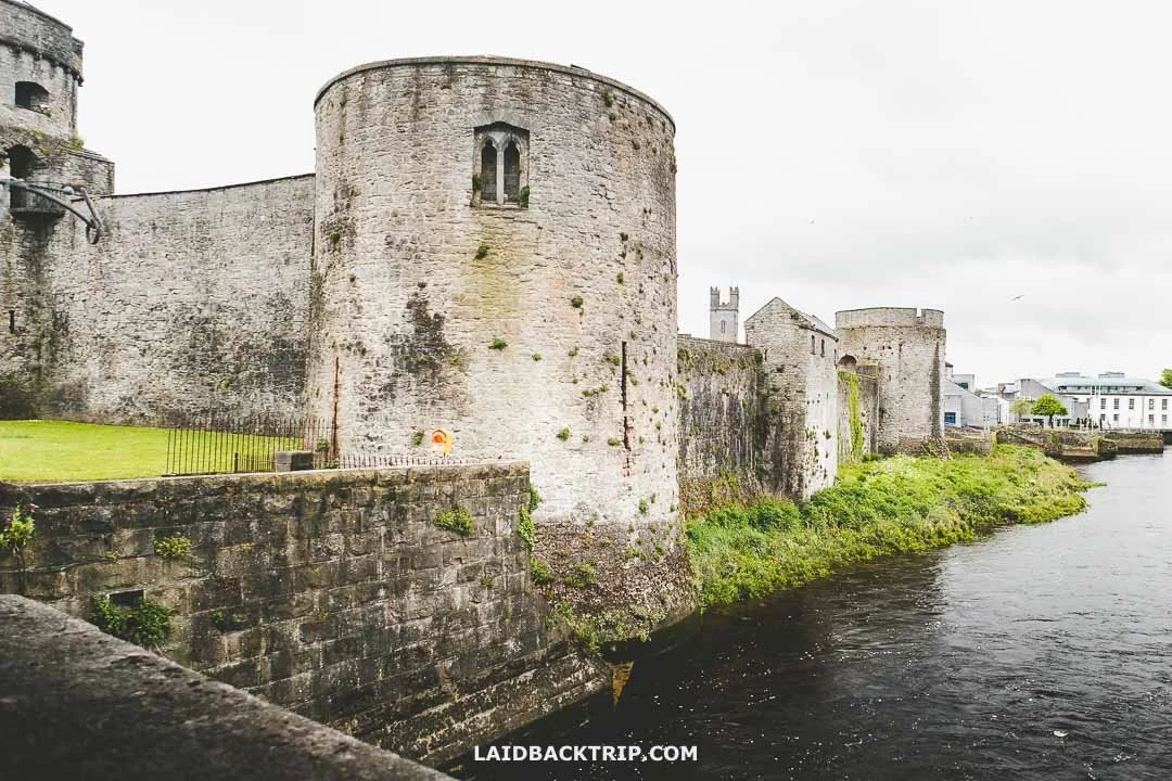 Cooreagh Fort - HachuredFairy fort / earthen ringfort · 1726 yd
 Our Lady's WellSpring · 1.5 mi
 Castle (in ruins)Castle, hall-house · 1.5 mi
 IndicatedCastle, motte · 1.6 mi
 KnockfeerinaMountain / peak · 4.7 mi
 Famine stoneMemorial · 4.9 mi
 Holy Cross CemeteryGraveyard · 6.1 mi
 National Co-op MuseumMuseum · 6.9 mi