What is recorded here
In level pasture. Roughly circular area (34.8m N-S; 34.2m E-W) defined by scarped edge (H 2m; Wth 3m); scarp is lined with trees and overgrown by bushes NW->N. Scarp has been worn down at numerous places by cattle accessing interior. Level interior under pasture.
Compiled by: Denis Power
Date of upload: 26 August 2011
A local fairy fort (ringfort/rath); wider significance not recorded.
The monument record does not grant public access. Check the route and ask the landowner before entering private land.
- What survives
- Recorded monument
Places near here
 Gobnet's FortArchaeological place · 3 yd
 Saint Derivla's WellSpring · 418 yd
 presbytery/parochial/curate's housepresbytery/parochial/curate's house · 496 yd
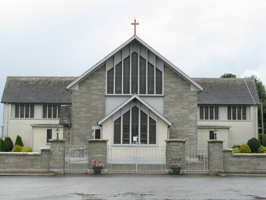 Saint Michael's Catholic Churchchurch/chapel · 551 yd
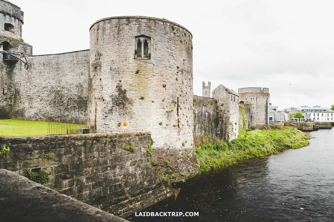 Cooreagh Fort - HachuredFairy fort / earthen ringfort · 1726 yd
 Our Lady's WellSpring · 1.5 mi
 Castle (in ruins)Castle, hall-house · 1.5 mi
 IndicatedCastle, motte · 1.6 mi
 KnockfeerinaMountain / peak · 4.7 mi
 Famine stoneMemorial · 4.9 mi
 Holy Cross CemeteryGraveyard · 6.1 mi
 National Co-op MuseumMuseum · 6.9 mi