What is recorded here
Glenmore Holy Wells holds two forgotten waters beside Croghanhill, one belonging to St. Patrick and the other to Bishop Mac Caille. Mac Caille's Well vanished beneath overgrowth by 1942, leaving no visible trace though it sat twenty-five metres from its named neighbour. The hill may still hide both chambers, waiting for someone stubborn enough to dig through the forgotten grass.
At the base of NE facing slope of Croghanhill, 420m N of Bishop Mac Caille's Church site (OF010-004002-). Spring well located 25m SE of St. Patrick's Well (OF010-004007-) which is marked as the second Glenmore well on the 1838 ed. OS 6-inch map. It is unenclosed. No surface trace visible of well which was known locally as Mac Caille's Well. In 1942 the ITA Survey, described the well as being overgrown and almost forgotten (SMR File). (O' Flanagan 1933, vol. 1, 38-40; Comerford 1883, 320-1)
The above description is derived from the published 'Archaeological Inventory of County Offaly' (Dublin: Stationery Office, 1997). In certain instances the entries have been revised and updated in the light of recent research.
Date of upload/revision: 6 January 2012
Glenmore Holy Wells are associated with St. Patrick and local Christian tradition, with one well specifically named after him. The site's proximity to an early church suggests a long history of pilgrimage and healing practices linked to the saint.
The monument record does not grant public access. Check the route and ask the landowner before entering private land.
- What survives
- Recorded monument
Places near here
 Glenmore Holy WellsHoly well · 42 yd
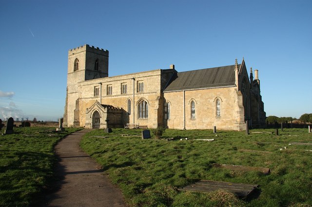 Site of Bp. MacCailles ChurchChurch · 451 yd
 Croghan HillMountain / peak · 526 yd
 Croghan Hill WalkWalking route · 825 yd
 Finnrenashark Holy WellSpring · 1113 yd
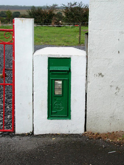 post boxpost box · 1180 yd
 The Togher of CroghanRoad, class 1 togher · 1499 yd
 OConor Falys or Croghan Castle (in ruins)House, fortified house · 1575 yd
 Site of Lady Mary Warrens CastleCastle, unclassified · 1.9 mi
 Clonin EarthworksMountain / peak · 2.7 mi
 Holy PlantationForest · 2.7 mi
 Victoria PlantationWood · 2.8 mi