.jpg)
What is recorded here
Scotland's National Record of the Historic Environment records Glasgow, 11b North Claremont Street as Flat(s) (19th Century), Terrace (19th Century). The official map says its point is accurate as follows: NGR given to the nearest 1m. The record does not by itself mean that the public may enter the place.
The historic-place record does not grant public access. Check current conditions and ownership before entering land or a building.
Places near here
 Glasgow, La Belle Place, GeneralGeneral View (period Unassigned) · 100 yd
 Glasgow, La Belle Place, Kelvingrove Park, Public Convenience and ShelterPublic Convenience (period Unassigned) · 100 yd
 Glasgow, Berkeley Street, Drill HallDrill Hall (19th Century) - (20th Century), Drill Hall (first World War), Gurdwara (20th Century) · 233 yd
 Dom PolskiMemorial · 275 yd
 Statue on The Stewart Memorial Fountain, GlasgowHeritage place · 290 yd
.jpg?width=1280) Glasgow, Minerva Street, Public ConveniencePublic Convenience (period Unassigned) · 345 yd
Glasgow, Minerva Street, Public ConveniencePublic Convenience (period Unassigned) · 345 yd The Hidden Lane GalleryGallery · 351 yd
 Park Parish Church TowerCastle, fort or tower · 419 yd
.jpg?width=1280) Park Gate - Kelvingrove ParkVisitor information · 460 yd
Park Gate - Kelvingrove ParkVisitor information · 460 yd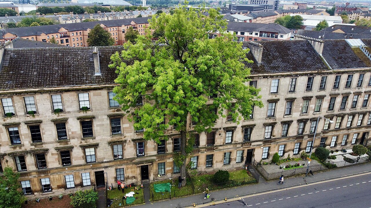 The Argyle Street Ash TreeEuropean ash · 461 yd
.jpg?width=1280) MemorialVisitor information · 525 yd
MemorialVisitor information · 525 yd Mini waterfall in Kelvingrove ParkWaterfall · 670 yd
Other information
Photo: Richard Sutcliffe · CC BY-SA 2.0